Sua Pan Airport Sowa Airport | |||||||||||
|---|---|---|---|---|---|---|---|---|---|---|---|
| Summary | |||||||||||
| Airport type | Private | ||||||||||
| Serves | Sowa, Botswana | ||||||||||
| Location | Sua Pan | ||||||||||
| Elevation AMSL | 2,985 ft / 910 m | ||||||||||
| Coordinates | 20°33′12″S 26°06′55″E / 20.55333°S 26.11528°E | ||||||||||
| Map | |||||||||||
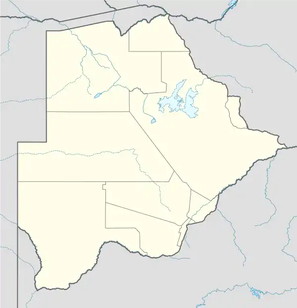
 SXN Location of airport in Botswana | |||||||||||
| Runways | |||||||||||
| |||||||||||
Sua Pan Airport or Sowa Airport (IATA: SXN, ICAO: FBSN) is an airport 11 kilometres (6.8 mi) west of Sowa, a town in the Central District of Botswana.
The runway is between the north and south basins of the Sua Pan (also known as Sowa Pan), a salt pan where sodium carbonate (soda ash) is mined. Sowa means salt in the language of the San.[4][5]
See also
References
- ↑ Airport information for FBSN[usurped]
- ↑ Airport information for Sua Pan Airport at Great Circle Mapper.
- ↑ Google Maps - Sua Pan
- ↑ Sowa Pan. Botswana Tourism Board. Archived 2011-02-20 at the Wayback Machine
- ↑ Murphy, Alan (2007). Southern Africa (4th ed.). Lonely Planet. p. 99. ISBN 978-1-74059-745-6. OCLC 156530975.
External links
- OpenStreetMap - Sua Pan
- OurAirports - Sua Pan
- SkyVector - Sua Pan
- Botswana CAAB - Sua Pan Airport
- Accident history for Sua Pan Airport at Aviation Safety Network
- Current weather for Sua Pan Airport at NOAA/NWS
This article is issued from Wikipedia. The text is licensed under Creative Commons - Attribution - Sharealike. Additional terms may apply for the media files.