Sugar Valley | |
|---|---|
 Sugar Valley Location within the state of West Virginia  Sugar Valley Sugar Valley (the United States) | |
| Coordinates: 39°25′10″N 81°5′13″W / 39.41944°N 81.08694°W | |
| Country | United States |
| State | West Virginia |
| County | Pleasants |
| Elevation | 614 ft (187 m) |
| Time zone | UTC-5 (Eastern (EST)) |
| • Summer (DST) | UTC-4 (EDT) |
| GNIS ID | 1555736[1] |
Sugar Valley is an unincorporated community in Pleasants County, West Virginia, United States. The community is located at the confluence of Sugar Creek and Middle Island Creek.[2]
The community takes its name from nearby Sugar Creek.[3]
References
- ↑ U.S. Geological Survey Geographic Names Information System: Sugar Valley, Pleasants County, West Virginia
- ↑ The National Map, accessed 2013-12-14
- ↑ Kenny, Hamill (1945). West Virginia Place Names: Their Origin and Meaning, Including the Nomenclature of the Streams and Mountains. Piedmont, WV: The Place Name Press. p. 610.
Municipalities and communities of Pleasants County, West Virginia, United States | ||
|---|---|---|
| Cities | 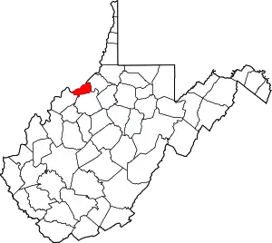 Pleasants County map | |
| Towns | ||
| Unincorporated communities | ||
This article is issued from Wikipedia. The text is licensed under Creative Commons - Attribution - Sharealike. Additional terms may apply for the media files.