| Suicide Hill | |
|---|---|
 Suicide Hill | |
| Highest point | |
| Coordinates | 46°26′07″N 110°04′35″W / 46.43528°N 110.07639°W[1] |
| Geography | |
| Location | Wheatland County, Montana |
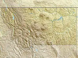
Suicide Hill is a summit in Wheatland County, Montana, in the United States.[2] With an elevation of 4,511 feet (1,375 m), Suicide Hill is the 2502nd highest summit in the state of Montana.[3]
References
This article is issued from Wikipedia. The text is licensed under Creative Commons - Attribution - Sharealike. Additional terms may apply for the media files.