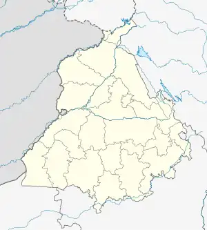
Sujanpur
City of the rivers | |
|---|---|
City | |
 Sujanpur City Location in Punjab, India  Sujanpur Sujanpur (India) | |
| Coordinates: 32°18′46″N 75°36′04″E / 32.312743°N 75.601172°E | |
| India Country | |
| State | Punjab |
| District | Pathankot |
| Government | |
| • Type | Municipality (City Administration) |
| • Body | Municipal Council Sujanpur |
| • Rank | 2nd in district |
| Population (2015) | |
| • Total | approximate 50,000 |
| Demonym | sujanpuria |
| Languages | |
| Time zone | UTC+5:30 (IST) |
| Area code | 0186 |
| Vehicle registration | PB-35 |
| Website | Municipal Council of Sujanpur website |
Sujanpur is a city and municipal council in the Pathankot district of the Indian state of Punjab. It is 06 km from Pathankot towards Jammu on Jalandhar-Jammu-Amritsar National Highway (NH-1A). It is situated near the banks of Ravi River and surrounded by two canals: UBDC and Bias Link. Sujanpur Municipal Council area is divided into 15 wards.
Sujanpur is the second most populous and largest urban area (शहरी क्षेत्र) in the district after Pathankot. Sujanpur has a large garment market as well as many international schools.
Demographics
According to the 2015 Indian census, Sujanpur has a population of approximately 50,000 people.[1] Men constitute 52% of the population and women 48%. Sujanpur has an average literacy rate of 71%, higher than the national average of 59.5%: male literacy is 75%, and female literacy is 66%. 12% of the population is under 6 years of age.
Politics
The city is part of the Sujanpur, Punjab Assembly constituency.
Transport
Sujanpur is well connected to the rest of the country by rail and road. It has direct train links with other Indian cities. All trains going to Jammu-Pathankot pass through Sujanpur Railway Station. Sujanpur is also connected by a fast network of private and public-sector bus services to other cities in Punjab, Himachal Pradesh, Delhi, Haryana, and Jammu & Kashmir. Important destinations include Delhi, Manali Chandigarh, Jammu, Dharamshala, Dalhousie, and Amritsar.
Airports close to Sujanpur
- Pathankot Airport (14.5 km)
- Amritsar Airport (116 km)
References
- ↑ "Census of India 2001: Data from the 2001 Census, including cities, villages and towns (Provisional)". Census Commission of India. Archived from the original on 16 June 2004. Retrieved 1 November 2008.