Supía, Caldas | |
|---|---|
Municipality and town | |
 Flag  Seal | |
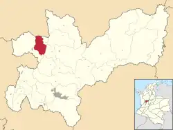 Location of the municipality and town of Supía, Caldas in the Caldas Department of Colombia. | |
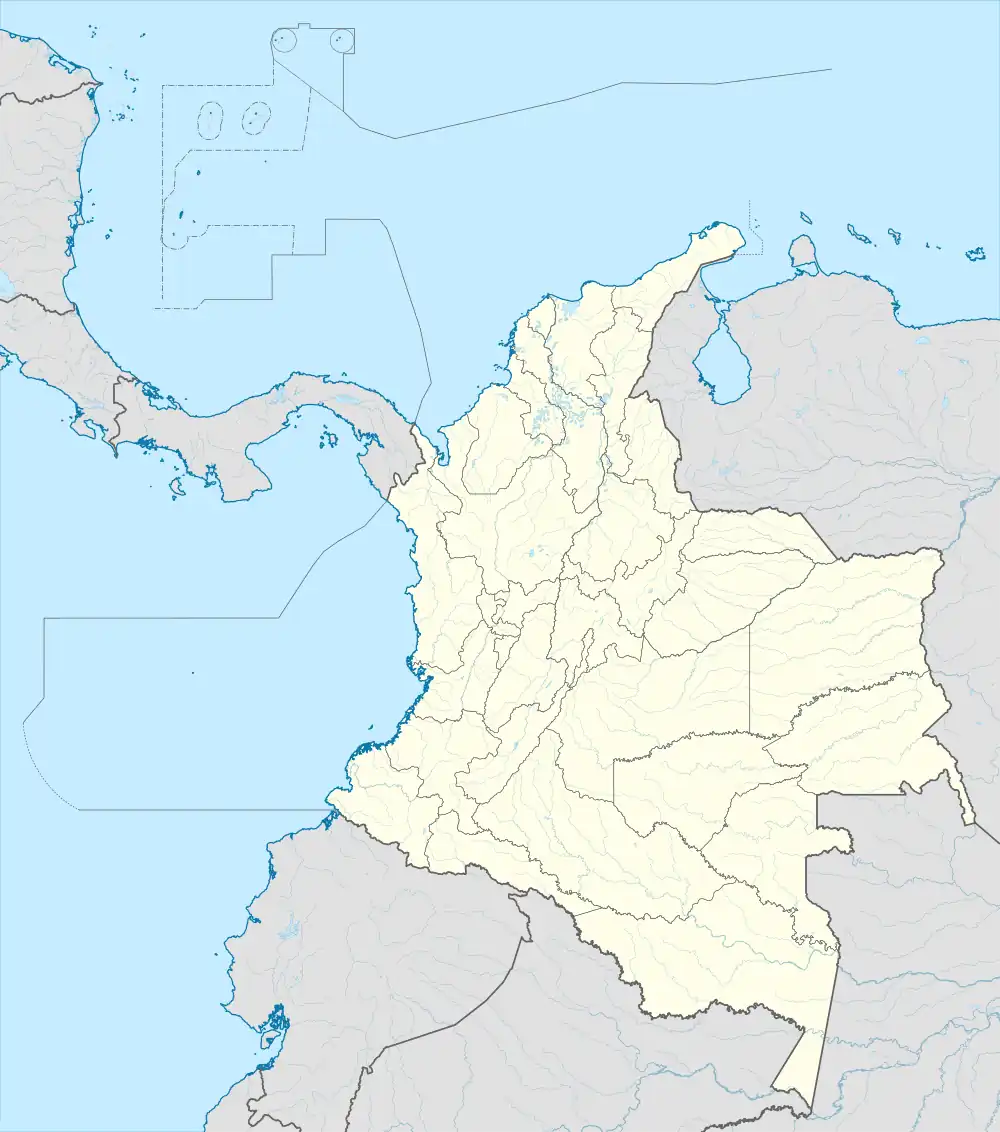 Supía, Caldas Location in Colombia | |
| Coordinates: 5°27′2″N 75°39′5″W / 5.45056°N 75.65139°W | |
| Country | |
| Department | |
| Elevation | 1,183 m (3,881 ft) |
| Population (Census 2018[1]) | |
| • Total | 26,571 |
| Time zone | UTC-5 (Colombia Standard Time) |
Supía is a town and municipality in the Colombian Department of Caldas. Located along the Colombian coffee growing axis, it was part of the "Coffee Cultural Landscape" UNESCO World Heritage Site in 2011. [2]
References
- ↑ "Censo Nacional de Población y Vivienda 2018" (in Spanish). Retrieved 20 April 2020.
- ↑ "Coffee Cultural Landscape". UNESCO World Heritage List. United Nations Educational, Scientific, and Cultural Organization. Retrieved 25 Apr 2011.
This article is issued from Wikipedia. The text is licensed under Creative Commons - Attribution - Sharealike. Additional terms may apply for the media files.