Swakopmund Airport | |||||||||||||||
|---|---|---|---|---|---|---|---|---|---|---|---|---|---|---|---|
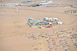 Bird's eye view of the airport | |||||||||||||||
 | |||||||||||||||
| Summary | |||||||||||||||
| Airport type | Public | ||||||||||||||
| Operator | Swakopmund Municipality | ||||||||||||||
| Location | Swakopmund | ||||||||||||||
| Elevation AMSL | 170 ft / 52 m | ||||||||||||||
| Coordinates | 22°39′30″S 014°34′00″E / 22.65833°S 14.56667°E | ||||||||||||||
| Map | |||||||||||||||
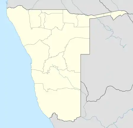 SWP Location within Namibia | |||||||||||||||
| Runways | |||||||||||||||
| |||||||||||||||
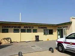
Swakopmund Airport (IATA: SWP, ICAO: FYSM) is a non-towered airport serving Swakopmund, a city in the Erongo Region of Namibia. There are no runway lights.
Activities at Swakopmund Airfield
There are numerous charter companies operating in and out of Swakopmund on a daily basis. There is a private Aircraft Maintenance Operation for piston and turbine aircraft at the airfield.
See also
References
- ↑ Airport information for SWP at Great Circle Mapper.
- ↑ Google Maps - Swakopmund
External links
This article is issued from Wikipedia. The text is licensed under Creative Commons - Attribution - Sharealike. Additional terms may apply for the media files.