Sweet, Idaho | |
|---|---|
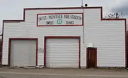
 Sweet Fire Station | |
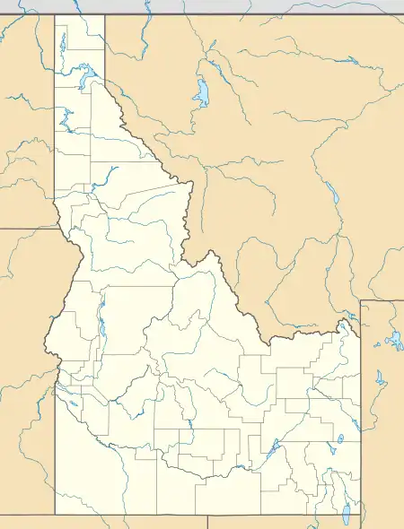
 Sweet, Idaho Location within the state of Idaho  Sweet, Idaho Sweet, Idaho (the United States) | |
| Coordinates: 43°58′23″N 116°19′28″W / 43.97306°N 116.32444°W | |
| Country | United States |
| State | Idaho |
| County | Gem |
| Elevation | 2,559 ft (780 m) |
| Time zone | UTC-7 (Mountain (MST)) |
| • Summer (DST) | UTC-6 (MDT) |
| ZIP codes | 83670 |
| Area code(s) | 208, 986 |
| GNIS feature ID | 397232[1] |
Sweet is an unincorporated community in Gem County, Idaho, United States. It is located in open countryside 10 mi (16 km) northeast of Emmett, along a county highway 8 miles due north of its intersection with State Highway 52.[2]
Founded in 1885 by Ezekiel Sweet, the community initially was a supply location and post office for farmers and ranchers in the nearby Lower Squaw Creek Valley. Sweet grew significantly as a result of the later Thunder Mountain Mines gold strike; by 1900, it supported three saloons, three hotels, several businesses, and a newspaper, which lasted until the gold mines had petered out. Several subsequent fires destroyed most of the historic downtown. Today, a smaller Sweet is the location of a restaurant, Butcher Shop, repair shop, lumber mill and a post office.[3]
The Upper Brownlee School in Sweet, and the Sweet Methodist Episcopal Church, are both listed on the National Register of Historic Places.
Shadow Butte, located northwest of Sweet, and is a notable landmark in the area.
References
- ↑ "Sweet, Idaho". Geographic Names Information System. United States Geological Survey, United States Department of the Interior.
- ↑ "Sweet, Idaho - Community Profile". RoadsideThoughts. Retrieved April 28, 2017.
- ↑ Sweet, Idaho USA, Gem County Chamber of Commerce, 2009. Accessed 2009-05-19.