| Syöte National Park | |
|---|---|
 | |
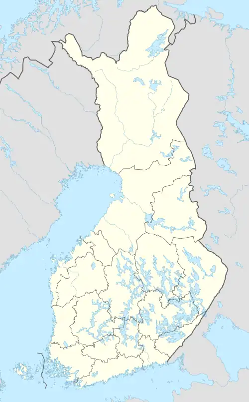
 Location in Finland | |
| Location | Finland |
| Coordinates | 65°44′51″N 27°54′43″E / 65.74750°N 27.91194°E |
| Area | 299 km2 (115 sq mi) |
| Established | 2000 |
| Visitors | 40000 (in 2009[1]) |
| Governing body | Metsähallitus |
| Website | www |
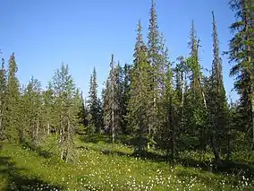
Syöte National Park (Syötteen kansallispuisto) is a national park in the area of Pudasjärvi, Posio and Taivalkoski municipalities, in Northern Ostrobothnia and Lapland regions of Finland. Syöte National Park is a chain of old-growth forests, part of which is high altitude forest. One fourth of the area of the park is covered by mires and wetlands of different types.
See also
References
- ↑ "Käyntimäärät kansallispuistoittain 2009" (in Finnish). Metsähallitus. Retrieved September 29, 2010.
External links
This article is issued from Wikipedia. The text is licensed under Creative Commons - Attribution - Sharealike. Additional terms may apply for the media files.