| Tête de Ferret | |
|---|---|
 Tête de Ferret | |
| Highest point | |
| Elevation | 2,714 m (8,904 ft) |
| Prominence | 192 m (630 ft)[1] |
| Parent peak | Grande Rochère |
| Coordinates | 45°53′42.2″N 7°4′35.3″E / 45.895056°N 7.076472°E |
| Geography | |
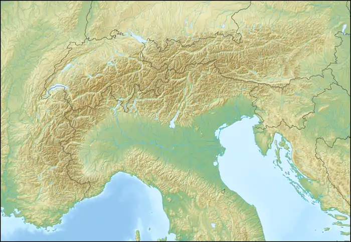 Tête de Ferret Location in the Alps | |
| Location | Valais, Switzerland Aosta Valley, Italy |
| Parent range | Pennine Alps |
The Tête de Ferret is a mountain of the Pennine Alps on the Swiss-Italian border. It lies just east of the Mont Blanc massif, between the Swiss Val Ferret (Valais) and the Italian Val Ferret (Aosta Valley).
References
External links
This article is issued from Wikipedia. The text is licensed under Creative Commons - Attribution - Sharealike. Additional terms may apply for the media files.