| Table Mountain | |
|---|---|
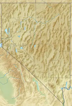
 Table Mountain Location in the state of Nevada | |
| Highest point | |
| Elevation | 10,649 ft (3,246 m)[1] |
| Prominence | 3,648 ft (1,112 m)[2] |
| Isolation | 16.95 mi (27.28 km)[2] |
| Coordinates | 38°46′21″N 116°35′04″W / 38.77250°N 116.58444°W[1] |
| Geography | |
| Location | Nye County, Nevada, United States |
| Parent range | Monitor Range |
Table Mountain, at 10,649 feet (3,246 m)[1] is the highest summit of the Monitor Range in south-central Nevada in the United States. It is located within the Humboldt-Toiyabe National Forest, about 50 miles (80 km) northeast of Tonopah.[2] The Table Mountain Wilderness is named after it.
See also
References
- 1 2 3 U.S. Geological Survey Geographic Names Information System: Table Mountain (Nye County, Nevada)
- 1 2 3 "Table Mountain". Peakbagger. Retrieved 7 July 2017.
This article is issued from Wikipedia. The text is licensed under Creative Commons - Attribution - Sharealike. Additional terms may apply for the media files.