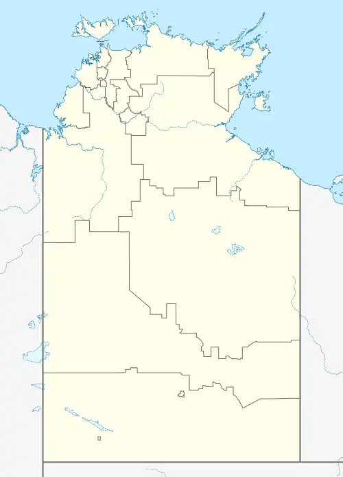
| Tablelands Northern Territory | |||||||||||||||
|---|---|---|---|---|---|---|---|---|---|---|---|---|---|---|---|
 Tablelands | |||||||||||||||
| Coordinates | 19°01′35″S 135°18′18″E / 19.0264°S 135.3049°E[1] | ||||||||||||||
| Population | 210 (2016 census)[2] | ||||||||||||||
| • Density | 0.00629/km2 (0.0163/sq mi) | ||||||||||||||
| Established | 4 April 2007[1] | ||||||||||||||
| Postcode(s) | 0862 [3] | ||||||||||||||
| Area | 33,393 km2 (12,893.1 sq mi)[4] | ||||||||||||||
| Time zone | ACST (UTC+9:30) | ||||||||||||||
| Location | 858 km (533 mi) SE of Darwin City | ||||||||||||||
| LGA(s) | Barkly Region[1] | ||||||||||||||
| Territory electorate(s) | Barkly[5] | ||||||||||||||
| Federal division(s) | Lingiari[6] | ||||||||||||||
| |||||||||||||||
| |||||||||||||||
| Footnotes | Locations[3] Adjoining localities[8][9] | ||||||||||||||
Tablelands is a locality in the Northern Territory of Australia located about 858 kilometres (533 mi) south-east of the territory capital of Darwin.[1][3]
The locality consists of the following land (from west to east, then north to south):[10][11]
- Banka Banka West pastoral lease
- Banka Banka and Bruchilly pastoral leases
- Rockhampton Downs pastoral lease and land described as NT Portion 502, and
- Brunette Downs pastoral lease, NT Portion 4472, and Alroy Downs and Dalmopre Downs pastoral leases.
The locality’s boundaries and name were gazetted on 4 April 2007. Its name is derived from the Barkly Tableland.[8][1] As of 2020, it has an area of 33,393 square kilometres (12,893 sq mi).[4]
The Barkly Highway passes from west to east along the southern side of the locality forming part of its southern boundary at its eastern end.[8]
Tablelands includes the homestead known as the Banka Banka Mud Hut which was listed on the Northern Territory Heritage Register on 30 August 2006.[12]
The 2016 Australian census which was conducted in August 2016 reports that Tablelands had 210 people living within its boundaries.[2]
Tablelands is located within the federal division of Lingiari, the territory electoral division of Barkly and the local government area of the Barkly Region.[6][5][9]
References
- 1 2 3 4 5 "Place Names Register Extract for Tablelands". NT Place Names Register. Northern Territory Government. Retrieved 25 April 2019.
- 1 2 Australian Bureau of Statistics (27 June 2017). "Tablelands (State Suburb)". 2016 Census QuickStats. Retrieved 25 April 2019.
- 1 2 3 "Tablelands Postcode". postcode-finders.com.au. Retrieved 25 April 2019.
- 1 2 "Tablelands". Australia’s Guide Pty Ltd. Retrieved 15 March 2020.
- 1 2 "Division of Daly". Northern Territory Electoral Commission. Retrieved 25 April 2019.
- 1 2 "Federal electoral division of Lingiari". Australian Electoral Commission. Retrieved 25 April 2019.
- 1 2 3 "Monthly climate statistics: Summary statistics BRUNETTE DOWNS (nearest weather station)". Commonwealth of Australia , Bureau of Meteorology. Retrieved 25 April 2019.
- 1 2 3 "Tablelands". NT Atlas and Spatial Data Directory. Northern Territory Government. Retrieved 25 April 2019.
- 1 2 "Localities within Barkly Shire (sic) (map)" (PDF). Northern Territory Government. 2 April 2007. Retrieved 25 April 2019.
- ↑ "Northern Territory Pastoral Districts". Northern Territory Government. 2015. Archived from the original on 28 February 2019. Retrieved 8 March 2020.
- ↑ "Localities within Barkly North sub-region (CP 5086)". NT Place Names Register. Northern Territory Government. Retrieved 15 March 2020.
- ↑ "Banka Banka Mud Hut". Heritage Register. Northern Territory Government. 30 August 2006. Retrieved 25 April 2019.