| Tabo–Huai Yai Wildlife Sanctuary | |
|---|---|
| เขตรักษาพันธุ์สัตร์ป่าตะเบาะ-ห้วยใหญ่ | |
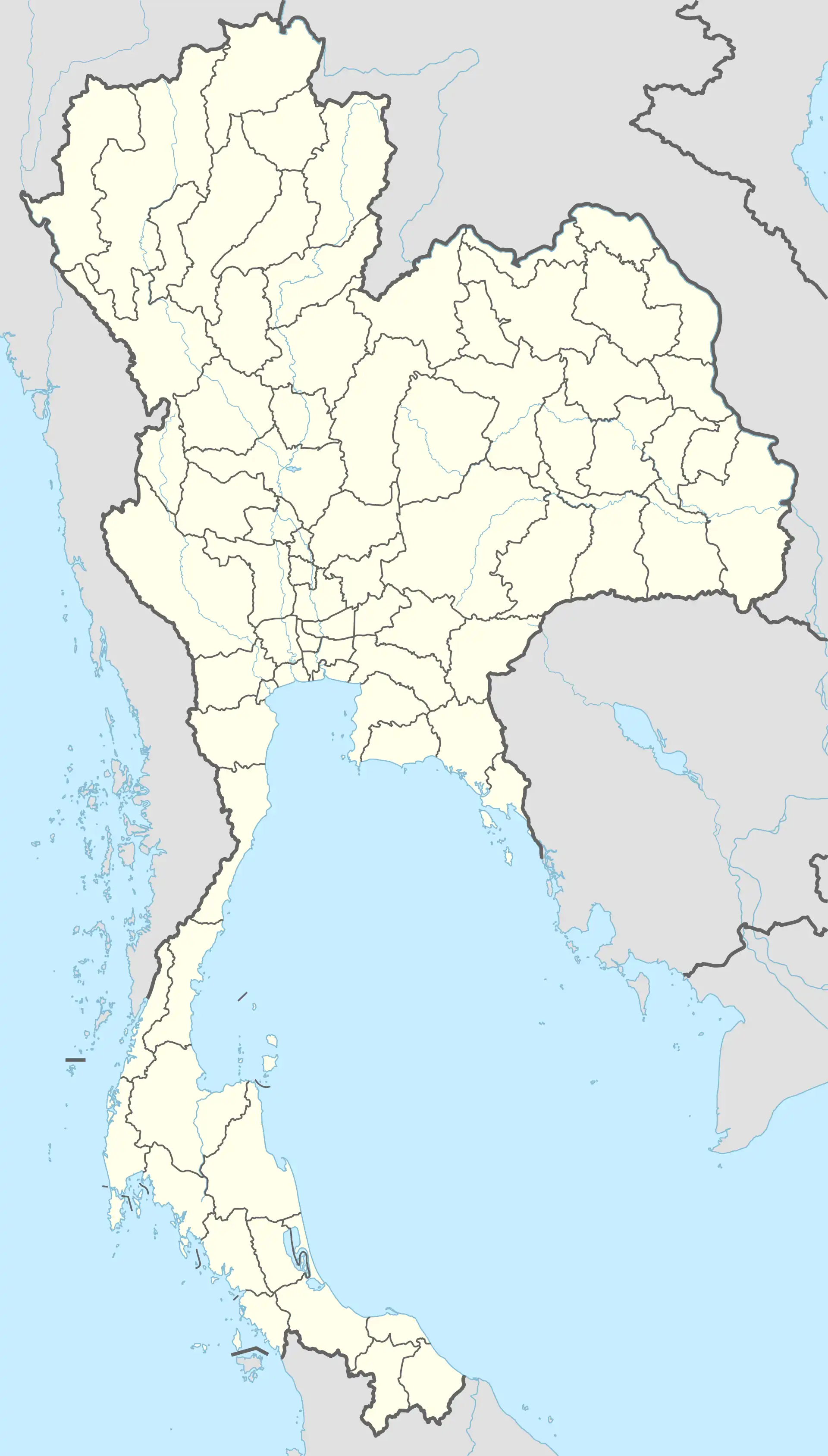
 Location in Thailand | |
| Location | Phetchabun, Chaiyaphum Provinces, Thailand |
| Nearest city | Phetchabun |
| Coordinates | 16°09′N 101°18′E / 16.15°N 101.30°E |
| Area | 652 km2 (252 sq mi)[2] |
| Established | 1997[3] |
| Governing body | Department of National Parks, Wildlife and Plant Conservation |
Tabo–Huai Yai Wildlife Sanctuary (Thai: เขตรักษาพันธุ์สัตว์ป่าตะเบาะ-ห้วยใหญ่;RTGS: Khet Raksa Phan Satpa Tabo-Huai Yai) is a wildlife sanctuary in Bueng Sam Phan, Nong Phai, Mueang Phetchabun districts of Phetchabun Province and Nong Bua Daeng, Phakdi Chumphon districts of Chaiyaphum Province of Thailand. The sanctuary covers an area of 652 square kilometres (252 sq mi) and was established in 1997.
Geography
Tabo–Huai Yai Wildlife Sanctuary is located about 25 kilometres (16 mi) southeast of Phetchabun town in Sa Kaeo Subdistrict, Bueng Sam Phan District and Bo Thai, Tha Duang subdistricts, Nong Phai District and Na Yom, Tabo subdistricts, Mueang Phetchabun District of Phetchabun Province and Nang Daet, Tham Wua Daeng, Wang Chomphu subdistricts, Nong Bua Daeng District and Ban Chiang, Chao Thong, Laem Thong, Wang Thong subdistricts, Phakdi Chumphon District of Chaiyaphum Province.[3]
The sanctuary's area is 652 square kilometres (252 sq mi) and is abutting Tat Mok National Park to the north, connected with Phu Khiao Wildlife Sanctuary to the northeast and neighbouring Sai Thong National Park to the southeast. Mountain ranges lie on the east and west sides of the sanctuary, the altitude varies from 270 metres (890 ft) to 1,000 metres (3,300 ft).[4][5]
Topography
Landscape is covered by forested mountains, such as Khao Khi Tao, Khao Lam Luk, Khao Pak Song, Khao Phraya Fo and Khao Tabo.[6] The area is divided into 34% high slope mountain area (shallow valleys, mountain tops, upper slopes and deeply incised streams), 62% hill slope area (open slopes, midslope ridges and u-shaped valleys) and 4% plains.[7]
Flora
The sanctuary features mixed deciduous forest (51%), dry evergreen forest (25%), agricultural area (16%), Abandoned farms (3%), dry deciduous forest (2%), degraded forest (2%) and savanna (1%).[8]
Fauna
Mammals in the sanctuary are:[9]

- Asian black bear (Ursus thibetanus)
- Asian elephant (Elaphus maximus)
- Barking deer (Muntiacus spp.)
- Gaur (Bos gaurus)
- Gibbon (Hylobatus spp.)
- Langur (Trachypithacus spp.)
- Macaque (Macaca spp.)
- Mainland serow (Capricornis sumatraensis)
- Sambar deer (Rusa unicolor)
- Tiger ("Panthera tigris)
- Treeshrew (Tupaia spp.)
Birds with Hornbill sightings.
Reptiles in the sanctuary are:[10]
- Bengal monitor (Varanus bengalensis)
- Big-headed turtle (Platysternon megacephalum)
- Butterfly lizard (Leiolepsis spp.)
- Lizard (Lacertilia spp.)
- Softshell Turtle (Trionychidea spp.)
- Tokay gecko (Gekko gecko)
Amphibians in the sanctuary are:[11]
- Blunt-headed burrowing frog (Glyphoglossus molossus)
- Crested frog
- Tree frog
Location
| Tabo-Huai Yai Wildlife Sanctuary in overview PARO 11 (Phitsanulok) | ||||||||||||||||||||||||||||||||||||||||||||||||
_EN.svg.png.webp) 16) Tabo-Huai Yai Wildlife Sanctuary in overview PARO 11 (Phitsanulok)
|
See also
References
- ↑ "Protected areas". UNEP-WCMC. 2020. Retrieved 4 October 2021.
- ↑
"เขตรักษาพันธุ์สัตว์ป่าตะเบาะ-ห้วยใหญ่" [Tabo - Huai Yai Wildlife Sanctuary]. Department National Parks, Wildlife and Plant Conservation (in Thai). Retrieved 4 October 2021, ที่ตั้ง - Location
{{cite web}}: CS1 maint: postscript (link) - 1 2 "พระราชกฤษฎีกา กำหนดบริเวณที่ดินป่าาตะเบาะ ป่าห้วยใหญ่ ป่าห้วยทิน ป่าคลองตีบ ป่าลำกง ป่าคลองตะโก ป่าฝั่งซัายแม่น้ำป่าสัก และป่าหมายเลขส๊บแปลงหนี่ง ฯ ให้เป็นเขตรักษาพันธุ์สัตว์ป่า พ.ศ.๒๕๔๐" [Royal Decree: Determine the area of Tabo forest, Huai Yai forest, Hai Tin forest, Khlon Tip forest, Lam Kong forest, Khlong Tako forest, Fang Say Pa Sak River forest and plot number one of forest number 10 etc. to be a wildlife sanctuary. B.E.2540 (1997)] (PDF) (in Thai). Retrieved 4 October 2021.
- ↑
"เขตรักษาพันธุ์สัตว์ป่าตะเบาะ-ห้วยใหญ่" [Tabo-Huai Yai Wildlife Sanctuary]. Department National Parks, Wildlife and Plant Conservation (in Thai). Retrieved 21 October 2021, Appendix 1 - LANDSAT satellite image (2010).
{{cite web}}: CS1 maint: postscript (link) - ↑
"เขตรักษาพันธุ์สัตว์ป่าตะเบาะ-ห้วยใหญ่" [Tabo-Huai Yai Wildlife Sanctuary]. Department National Parks, Wildlife and Plant Conservation (in Thai). Retrieved 4 October 2021, สภาพภูมืประเทศ - Topography.
{{cite web}}: CS1 maint: postscript (link) - ↑
"พระราชกฤษฎีกา กำหนดบริเวณที่ดินป่าาตะเบาะ ป่าห้วยใหญ่ ฯ ให้เป็นเขตรักษาพันธุ์สัตว์ป่า พ.ศ.๒๕๔๐" [Royal Decree: Determine the area of Tabo forest, Huai Yai forest etc. to be a wildlife sanctuary. B.E.2540 (1997)] (PDF) (in Thai). Retrieved 21 October 2021, Appendix Map.
{{cite web}}: CS1 maint: postscript (link) - ↑
"เขตรักษาพันธุ์สัตว์ป่าตะเบาะ-ห้วยใหญ่" [Tabo-Huai Yai Wildlife Sanctuary]. Department National Parks, Wildlife and Plant Conservation (in Thai). Retrieved 21 October 2021, Appendix 4 - Landform.
{{cite web}}: CS1 maint: postscript (link) - ↑
"เขตรักษาพันธุ์สัตว์ป่าตะเบาะ-ห้วยใหญ่" [Tabo-Huai Yai Wildlife Sanctuary]. Department National Parks, Wildlife and Plant Conservation (in Thai). Retrieved 21 October 2021, Appendix 5 - Map of forest species.
{{cite web}}: CS1 maint: postscript (link) - ↑
"เขตรักษาพันธุ์สัตว์ป่าตะเบาะ-ห้วยใหญ่" [Tabo-Huai Yai Wildlife Sanctuary]. Department National Parks, Wildlife and Plant Conservation (in Thai). Retrieved 4 October 2021, ทรัพยากรส้ตว์ป่า 1 - Wildlife resources 1
{{cite web}}: CS1 maint: postscript (link) - ↑
"เขตรักษาพันธุ์สัตว์ป่าตะเบาะ-ห้วยใหญ่" [Tabo-Huai Yai Wildlife Sanctuary]. Department National Parks, Wildlife and Plant Conservation (in Thai). Retrieved 4 October 2021, ทรัพยากรส้ตว์ป่า 2 - Wildlife resources 2
{{cite web}}: CS1 maint: postscript (link) - ↑
"เขตรักษาพันธุ์สัตว์ป่าตะเบาะ-ห้วยใหญ่" [Tabo-Huai Yai Wildlife Sanctuary]. Department National Parks, Wildlife and Plant Conservation (in Thai). Retrieved 4 October 2021, ทรัพยากรส้ตว์ป่า 3 - Wildlife resources 3
{{cite web}}: CS1 maint: postscript (link) - ↑ "ส่วนอนุรักษ์สัตว์ป่า, เขตรักษาพันธุ์สัตว์ป่า 6 แห่ง" [Wildlife Conservation Division, 6 Wildlife Sanctuaries]. Office of Conservation Area 11 (Phitsanulok) (in Thai). 2021. Retrieved 22 September 2021.