Talana | |
|---|---|
| Comune di Talana | |
 Coat of arms | |
Location of Talana | |
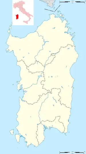
 Talana Location of Talana in Sardinia  Talana Talana (Sardinia) | |
| Coordinates: 40°02′N 09°30′E / 40.033°N 9.500°E | |
| Country | Italy |
| Region | Sardinia |
| Province | Nuoro (NU) |
| Area | |
| • Total | 117.92 km2 (45.53 sq mi) |
| Elevation | 682 m (2,238 ft) |
| Population (December 31, 2004)[1] | |
| • Total | 1,129 |
| • Density | 9.6/km2 (25/sq mi) |
| Demonym | Talanesi |
| Time zone | UTC+1 (CET) |
| • Summer (DST) | UTC+2 (CEST) |
| Postal code | 08040 |
| Dialing code | 0782 |
| Patron saint | St. Martha |
| Saint day | July 29 |
Talana is a town and comune in the province of Nuoro, Sardinia, Italy. The town is located above a valley, at an elevation of almost 700 metres (2,300 ft). The area has been occupied since the Bronze Age, with many nuraghes nearby. It was part of the Giudicato of Cagliari in medieval times. There is a hotel and several bed and breakfasts in the town.[2]
References
Wikimedia Commons has media related to Talana.
- ↑ "Popolazione Residente al 1° Gennaio 2018". Italian National Institute of Statistics. Retrieved 16 March 2019.
- ↑ Sardegna Turismo page on Talana
This article is issued from Wikipedia. The text is licensed under Creative Commons - Attribution - Sharealike. Additional terms may apply for the media files.