Tam Giang Tây | |
|---|---|
Commune and village | |
 | |
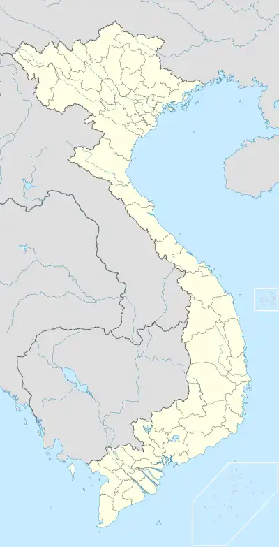
 Tam Giang Tây Location in Vietnam | |
| Coordinates: 8°44′43″N 105°08′08″E / 8.7453°N 105.1356°E | |
| Country | |
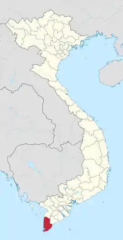
| Province | Cà Mau |
| District | Ngọc Hiển |
| Area | |
| • Total | 35.66 sq mi (92.35 km2) |
| Population (2019) | |
| • Total | 9,157 |
| Time zone | UTC+07:00 |
Tam Giang Tây is a commune (xã) and village in Ngọc Hiển District, Cà Mau Province, in Vietnam. The commune covers an area of 92.35 square kilometres (35.66 sq mi) and as of 2019 it had a population of 9157 people.
This article is issued from Wikipedia. The text is licensed under Creative Commons - Attribution - Sharealike. Additional terms may apply for the media files.
