Tamaya | |
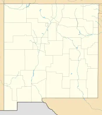
 Location in New Mexico  Location in United States | |
| Nearest city | Bernalillo, New Mexico |
|---|---|
| Coordinates | 35°25′41″N 106°37′03″W / 35.42806°N 106.61750°W |
| Area | 21.5 acres (8.7 ha) |
| Built | 1694 |
| Built by | Diego Arias de Espinoza (1734 reconstruction) |
| Architectural style | Pueblo |
| NRHP reference No. | 74001204[1] |
| Added to NRHP | November 1, 1974 |
Tamaya, also known as Santa Ana Pueblo, 9 miles (14 km) north of Bernalillo, New Mexico, dates from 1694. It was listed on the National Register of Historic Places in 1974. The listing included 21 contributing buildings on 21.5 acres (8.7 ha).[1]
It was rebuilt in 1734 by Fray Diego Arias de Espinoza. It is included in the modern Santa Ana Pueblo CDP.[2]
References
- 1 2 "National Register Information System". National Register of Historic Places. National Park Service. November 2, 2013.
- ↑ James Purdy (January 31, 1973). "National Register of Historic Places Inventory/Nomination: Tamaya". National Park Service. Retrieved June 20, 2019. With accompanying two photos from 1960
This article is issued from Wikipedia. The text is licensed under Creative Commons - Attribution - Sharealike. Additional terms may apply for the media files.