| Tanesashi Kaigan Hashikamidake Prefectural Natural Park | |
|---|---|
| 種差海岸階上岳県立自然公園 | |
 | |
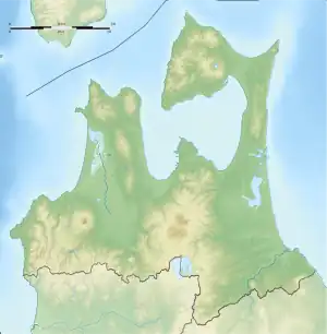
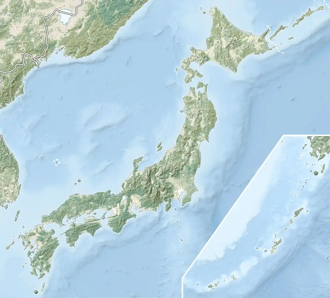
 Tanesashi Kaigan Hashikamidake Prefectural Natural Park  Tanesashi Kaigan Hashikamidake Prefectural Natural Park (Japan) | |
| Location | Aomori Prefecture, Japan |
| Nearest city | Hachinohe/Hashikami |
| Coordinates | 40°24′3″N 141°35′4″E / 40.40083°N 141.58444°E |
| Area | 24.06 km2 |
| Established | 10 June 1953 |
Tanesashi Kaigan Hashikamidake Prefectural Natural Park (種差海岸階上岳県立自然公園, Tanesashi Kaigan Hashikamidake kenritsu shizen-kōen) is a Prefectural Natural Park in southeast Aomori Prefecture, Japan. Established in 1953, the park spans the borders of the municipalities of Hachinohe and Hashikami. It derives its name from the Tanesashi Coast and Mount Hashikami (階上岳).[1][2] In 2013 the park was incorporated into Sanriku Fukkō National Park.[3][4]
See also
References
- ↑ "青森県内の自然公園" [Natural Parks in Aomori Prefecture] (in Japanese). Aomori Prefecture. Retrieved 23 August 2012.
- ↑ "種差海岸階上岳県立自然公園" [Tanesashi Kaigan Hashikamidake Prefectural Natural Park] (in Japanese). Aomori Prefecture. Archived from the original on 19 May 2011. Retrieved 23 August 2012.
- ↑ "基礎情報" [Basic Information] (in Japanese). Ministry of the Environment. Archived from the original on 23 October 2013. Retrieved 22 October 2013.
- ↑ "National park of restoration". The Japan Times. 28 May 2013. Retrieved 22 October 2013.
This article is issued from Wikipedia. The text is licensed under Creative Commons - Attribution - Sharealike. Additional terms may apply for the media files.