Tani
تنی | |
|---|---|
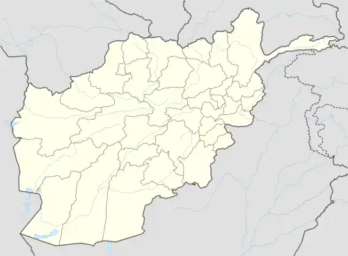 Tani Location in Afghanistan | |
| Coordinates: 33°14′32″N 69°49′41″E / 33.24222°N 69.82806°E | |
| Country | |
| Province | Khost Province |
| District | Tani District |
| Elevation | 1,303 m (4,275 ft) |
| Time zone | UTC+4:30 |
Tani[1] (also: Daragi) is a village and the center of Tani District, Khost Province, Afghanistan. It is located on 33°14′32″N 69°49′41″E / 33.2422°N 69.8281°E at 1,303 m altitude.
Climate
Tani has a cold semi-arid climate (Köppen climate classification: BSk) with hot summers and cool winters.
| Climate data for Tani, Khost Province | |||||||||||||
|---|---|---|---|---|---|---|---|---|---|---|---|---|---|
| Month | Jan | Feb | Mar | Apr | May | Jun | Jul | Aug | Sep | Oct | Nov | Dec | Year |
| Daily mean °C (°F) | 4.1 (39.4) |
6.5 (43.7) |
12.1 (53.8) |
16.2 (61.2) |
22.2 (72.0) |
26.8 (80.2) |
26.7 (80.1) |
25.4 (77.7) |
22.7 (72.9) |
17.2 (63.0) |
10.5 (50.9) |
5.6 (42.1) |
16.3 (61.4) |
| Average precipitation mm (inches) | 28.2 (1.11) |
55.0 (2.17) |
67.0 (2.64) |
33.6 (1.32) |
22.3 (0.88) |
15.8 (0.62) |
47.0 (1.85) |
44.1 (1.74) |
8.1 (0.32) |
6.8 (0.27) |
10.9 (0.43) |
5.4 (0.21) |
344.2 (13.56) |
| Source 1: ClimateCharts[2] | |||||||||||||
| Source 2: World Weather Online (precipitation & humidity)[3] | |||||||||||||
See also
References
- ↑ "Tani". GEOnet Names Server. Retrieved 13 November 2019.
- ↑ "Climate: Tani - ClimateCharts, Laura Zepner, Pierre Karrasch, Felix Wiemann & Lars Bernard (2020) ClimateCharts.net – an interactive climate analysis web platform, International Journal of Digital Earth, DOI: 10.1080/17538947.2020.1829112". Retrieved 24 September 2022.
- ↑ "Humidity: Tani - World Weather Online". Retrieved 24 September 2022.
External links
- Tani can be found at GEOnet Names Server, at this link, by opening the Advanced Search box, entering "-3394712" in the "Unique Feature Id" form, and clicking on "Search Database".
| Districts |  | |
|---|---|---|
| Populated places | ||
| Landforms | ||
| Other | ||
This article is issued from Wikipedia. The text is licensed under Creative Commons - Attribution - Sharealike. Additional terms may apply for the media files.