Tarai | |
|---|---|
Village | |
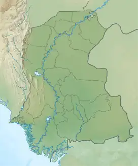
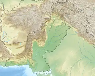
 Tarai Location in Sindh  Tarai Tarai (Pakistan) | |
| Coordinates: 24°41′20″N 68°40′17″E / 24.689007°N 68.671426°E[1] | |
| Country | Pakistan |
| Region | Sindh |
| District | Badin |
| Population (2017)[2] | |
| • Total | 6,182 |
| Time zone | UTC+5 (PST) |
| • Summer (DST) | UTC+6 (PDT) |
Tarai is a village and deh in Shaheed Fazil Rahu taluka of Badin District, Sindh.[3] As of 2017, it has a population of 6,182, in 1,190 households.[2] It is the seat of a tapedar circle, which also includes the villages of Kand, Kandar Jagir, Nari, and Shaikhano.[2] It is also the headquarters of a supervisory tapedar circle, which also includes the tapedar circles of Akri-1, Gharo, Gunwrah, Kario, and Salehabad.[2] Tarai is also the seat of a Union Council, which has a total population of 46,005.[4]
Tarai's Shah Talib mosque dates back to the Kalhoro dynasty in the 1700s.[5] It features three domes over the main sanctuary and stylistically resembles the mosque at Chuteyarun (in Sanghar District), which was built around the same time period.[5]
References
- ↑ "GeoNames Search". geonames.nga.mil. Archived from the original on April 12, 2014. Retrieved 2023-04-19.
- 1 2 3 4 Population and household detail from block to tehsil level (Badin District) (PDF). 2017. p. 21. Retrieved 5 May 2021.
- ↑ "List of Dehs in Sindh" (PDF). Sindh Zameen. Retrieved 4 May 2021.
- ↑ "Union Council wise Thematic Analysis". Department of Health, Government of Sindh. Retrieved 23 May 2021.
- 1 2 Kalhoro, Zulfiqar Ali (2013). "The Kalhora Queen and Religious Architecture: The Mosques of Mai Jaman As Trend-Setters in Late Eighteenth-Century Sindh" (PDF). Pakistan Heritage. 5: 90–1. Retrieved 4 January 2022.