Tarnówka | |
|---|---|
Village | |
 Tarnówka | |
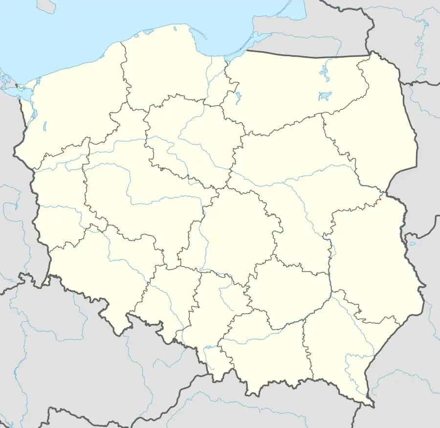
| Coordinates: 53°20′24″N 16°51′1″E / 53.34000°N 16.85028°E | |
| Country | |
| Voivodeship | Greater Poland |
| County | Złotów |
| Gmina | Tarnówka |
| Population | 1,300 |
| Time zone | UTC+1 (CET) |
| • Summer (DST) | UTC+2 (CEST) |
| Vehicle registration | PZL |
Tarnówka [tarˈnufka] (German: Tarnowke)[1] is a village in Złotów County, Greater Poland Voivodeship, in north-central Poland. It is the seat of the gmina (administrative district) called Gmina Tarnówka.[2] It lies approximately 13 kilometres (8 mi) west of Złotów and 105 km (65 mi) north of the regional capital Poznań.
History
The territory became a part of the emerging Polish state under its first historic ruler Mieszko I in the 10th century. Tarnówka was a royal village of the Kingdom of Poland, administratively located in the Nakło County in the Kalisz Voivodeship in the Greater Poland Province.[3] It was annexed by Prussia in the First Partition of Poland in 1772, and from 1871 to 1945 it was also part of Germany.
References
- ↑ Ortsnamenverzeichnis der Ortschaften jenseits von Oder und Neiße by M. Kaemmerer
- ↑ "Central Statistical Office (GUS) - TERYT (National Register of Territorial Land Apportionment Journal)" (in Polish). 2008-06-01.
- ↑ Atlas historyczny Polski. Wielkopolska w drugiej połowie XVI wieku. Część I. Mapy, plany (in Polish). Warsaw: Institute of History, Polish Academy of Sciences. 2017. p. 1b.
This article is issued from Wikipedia. The text is licensed under Creative Commons - Attribution - Sharealike. Additional terms may apply for the media files.