Tarrazú | |
|---|---|
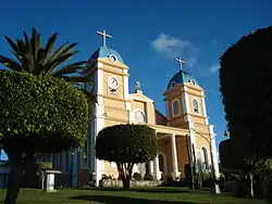
 San Marcos Roman Catholic church | |
 Flag  Seal | |
Tarrazú canton | |
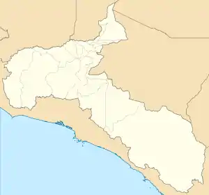
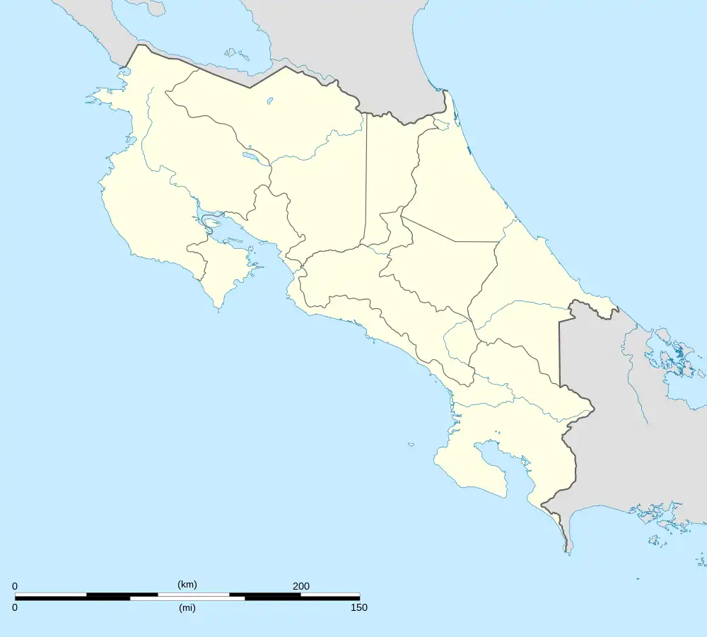
 Tarrazú Tarrazú canton location in San José Province  Tarrazú Tarrazú canton location in Costa Rica | |
| Coordinates: 9°34′59″N 84°03′53″W / 9.5830753°N 84.064823°W | |
| Country | |
| Province | San José |
| Creation | 7 August 1868[1] |
| Head city | San Marcos |
| Districts | Districts |
| Government | |
| • Type | Municipality |
| • Body | Municipalidad de Tarrazú |
| • Mayor | Ana Lorena Rovira Gutiérrez (PUSC) |
| Area | |
| • Total | 297.5 km2 (114.9 sq mi) |
| Elevation | 1,471 m (4,826 ft) |
| Population (2011) | |
| • Total | 16,280 |
| • Density | 55/km2 (140/sq mi) |
| Time zone | UTC−06:00 |
| Canton code | 105 |
| Website | munitarrazu |
Tarrazú is the fifth canton in the province of San José in Costa Rica.[2][3] The head city of the canton is San Marcos. It is part of Los Santos Zone, together with Dota and León Cortés Castro.
Geography

Tarrazú has an area of 297.5 square kilometres (114.9 sq mi)[4] and a mean elevation of 1,471 metres (4,826 ft).[2]
The Pirrís River (also known as Parrita River) establishes much of the northern boundary of the three-pronged canton, which reaches south across the Coastal Mountain Range to its border with the canton of Aguirre in Puntarenas Province.
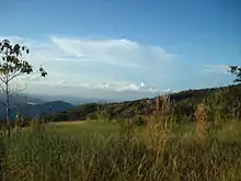
Tarrazu is located about 70 kilometres (43 mi) south of the Capital San Jose, in a pristine valley surrounded by mountains that are part of the Talamanca Sierra in southern Costa Rica. Downtown San Marcos is 1,350 metres (4,430 ft) above sea level but is surrounded by peaks as high as 3,000 metres (9,800 ft)above sea level.
Districts
The canton of Tarrazú is subdivided into three districts:
History
The canton was established by a legislative decree of 7 August 1868. It was part of the Desamparados canton by that time.
Demographics
| Historical population | |||
|---|---|---|---|
| Census | Pop. | %± | |
| 1883 | 1,378 | — | |
| 1892 | 2,583 | 87.4% | |
| 1927 | 5,734 | 122.0% | |
| 1950 | 7,435 | 29.7% | |
| 1963 | 5,392 | −27.5% | |
| 1973 | 7,542 | 39.9% | |
| 1984 | 8,845 | 17.3% | |
| 2000 | 14,160 | 60.1% | |
| 2011 | 16,280 | 15.0% | |
|
Instituto Nacional de Estadística y Censos[5] |
|||
At the 2011 census, Tarrazú had a population of 16,280.[7]
Transportation
Road transportation
The canton is covered by the following road routes:
Economy
Highland coffee is the main source of income of local people. However, tourism and avocado production are of increased importance. During the months of December, January and February, population increases three-fold due to harvest time. San Marcos, the biggest town in the region, has become the center of economic activity. More recently the Costa Rican Institute of Electricity has invested millions of dollars in the Pirris Hydro Dam, scheduled to start generating energy by March 2011. The Hydro Dam is now the highest structure of its kind in Central America and will be key to the economic development of the region, not only in the highlands but the coastal regions of Quepos and Parrita.
The region is deeply dependent on remittances from emigres who live in the United States, namely New Jersey. Few households in the region do not have a family member who lives and works in the United States. Ironically, this outmigration has led to an influx of thousands of Panamanian laborers to help realize the annual coffee harvest.[8] Tarrazu, particularly the San Lorenzo area, is felt to produce the most desirable coffee in Costa Rica.[9] Finca Palmilera coffee is grown here.[10] In November 2012, it was the most expensive coffee sold in Starbucks coffee shops in the United States.[11]
References
- ↑ Hernández, Hermógenes (1985). Costa Rica: evolución territorial y principales censos de población 1502 - 1984 (in Spanish) (1 ed.). San José: Editorial Universidad Estatal a Distancia. pp. 164–173. ISBN 9977-64-243-5. Retrieved 5 October 2020.
- 1 2 "Declara oficial para efectos administrativos, la aprobación de la División Territorial Administrativa de la República N°41548-MGP". Sistema Costarricense de Información Jurídica (in Spanish). 19 March 2019. Retrieved 26 September 2020.
- ↑ División Territorial Administrativa de la República de Costa Rica (PDF) (in Spanish). Editorial Digital de la Imprenta Nacional. 8 March 2017. ISBN 978-9977-58-477-5.
- ↑ "Área en kilómetros cuadrados, según provincia, cantón y distrito administrativo" (in Spanish). Instituto Nacional de Estadística y Censos. Retrieved 26 September 2020.
- ↑ "Instituto Nacional de Estadística y Censos" (in Spanish).
- ↑ "Sistema de Consulta de a Bases de Datos Estadísticas". Centro Centroamericano de Población (in Spanish).
- ↑ "Censo. 2011. Población total por zona y sexo, según provincia, cantón y distrito" (in Spanish). Instituto Nacional de Estadística y Censos. Retrieved 26 September 2020.
- ↑ Kordick, Carmen. The Saints of Progress: Coffee, Migration, and Costa Rican National Identity. University of Alabama Press, 2019.
- ↑ Elizabeth Barham, Bertil Sylvander (24 June 2011). Labels of Origin for Food: Local Development, Global Recognition. CABI. p. 146. Retrieved 7 July 2012.
- ↑ "Costa Rica Finca Palmilera", Roy Street Coffee and Tea. Retrieved 16 November 2012.
- ↑ Josh Sanburn (30 November 2012). "The $7 Cup of Starbucks: A Logical Extension of the Coffee Chain's Long-Term Strategy". Time.