Tazmalt
تازمالت ⵜⴰⵣⵎⴰⵍⵜ | |
|---|---|
town | |
 | |
 Seal | |
| Nickname: Tazeradjt | |
 Algeria | |
 Tazmalt | |
| Coordinates: 36°23′04″N 4°23′57″E / 36.38444°N 4.39917°E | |
| Country | Algeria |
| Province | Béjaïa |
| Area | |
| • Total | 33.64 km2 (12.99 sq mi) |
| Population (2008) | |
| • Total | 28,891 |
| • Density | 860/km2 (2,200/sq mi) |
| Time zone | UTC+1 (West Africa Time) |
| Postal codes | 06006 |
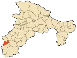
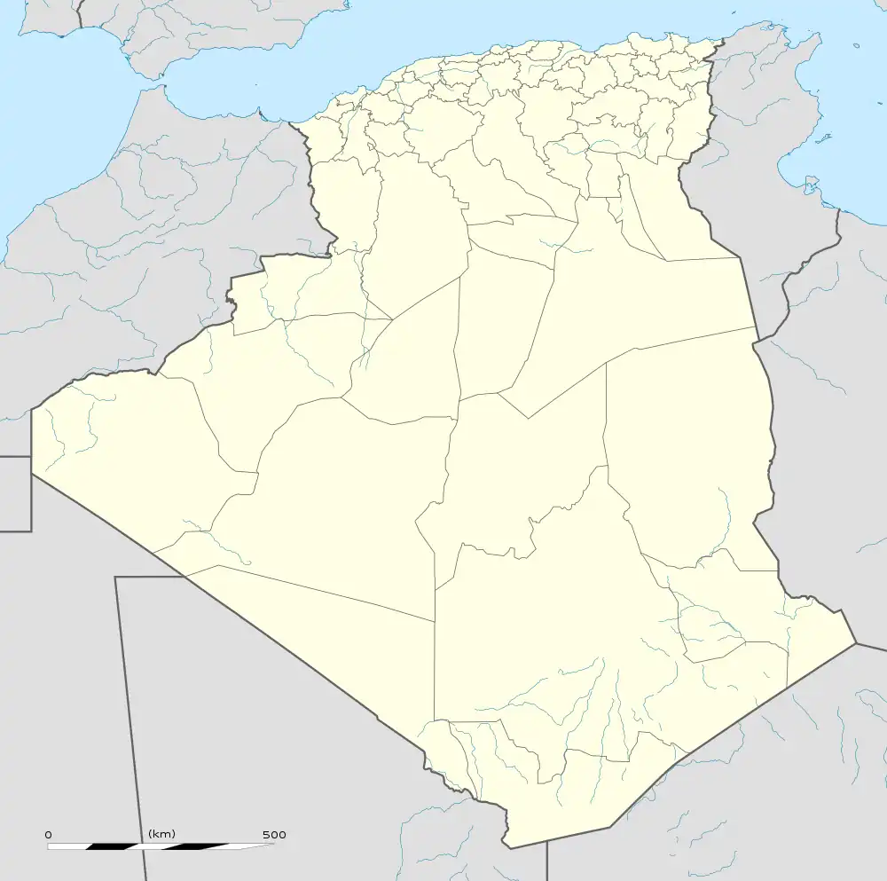
Tazmalt is a town in northern Algeria. It's about 85 km south west of Bejaia, 50 km at east of Bouira, 55 km south east of Tizi Ouzou, and 165 km south east of the capital Algiers. Tazmalt has a population of 25,000. The Béni Mansour-Bejaïa line serves this community with SNTF train service.
36°23′04″N 4°23′57″E / 36.38444°N 4.39917°E
This article is issued from Wikipedia. The text is licensed under Creative Commons - Attribution - Sharealike. Additional terms may apply for the media files.
.svg.png.webp)