Tejutepeque | |
|---|---|
Municipality | |
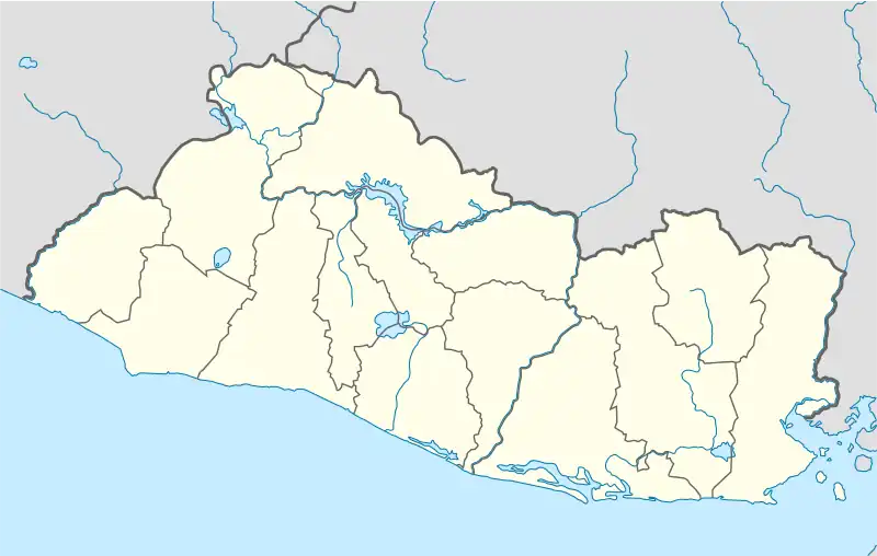 Tejutepeque Location in El Salvador | |
| Coordinates: 13°51′N 88°54′W / 13.850°N 88.900°W | |
| Country | |
| Department | Cabañas Department |
| Elevation | 2,277 ft (694 m) |
| Population | |
| • Total | 20,000 |
| • Summer (DST) | -06:00 GMT |
Tejutepeque is a municipality in the Cabañas department of El Salvador located in the northeast, with population 20,000 of people.
Capital: Sensuntepeque | ||
| Municipalities | 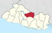 | |
| Geography | ||
| Landmarks | ||

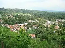
Tejutepeque City © Tejutepeque.com
Tejutepeque
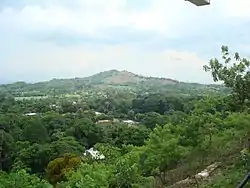
Cerro "Los Coyotes"
This article is issued from Wikipedia. The text is licensed under Creative Commons - Attribution - Sharealike. Additional terms may apply for the media files.