| Telire River | |
|---|---|
 | |
| Location | |
| Country | Costa Rica |
| Province | Limón |
| Physical characteristics | |
| Mouth | |
• location | Sixaola River |
• coordinates | 9°33′34″N 82°53′09″W / 9.55944°N 82.88583°W |
| Basin features | |
| River system | Sixaola |
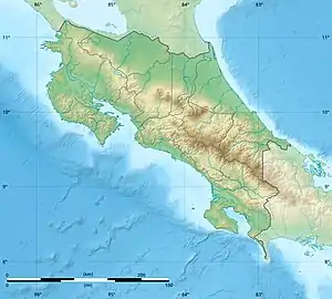
The Telire River is a river in Costa Rica located in the province of Limón, in the eastern part of the country.[1] The confluence of Telire with the Yorkin River creates the Sixaola, which is part of the border between Costa Rica and Panama.
A rainforest climate prevails in the area.[2] The average annual temperature is 22 °C. The warmest month is October, when the average temperature is 22 °C, and the coldest is January, at 19 °C.[3] The average annual average is 2 550 millimeters. The rainiest month is July, with an average of 434 mm of precipitation, and the driest is February, with 75 mm of rain.[4]
References
- ↑ Instituto Costarricense de Turismo map Archived 2009-01-26 at the Wayback Machine, 2007. (in Spanish)
- ↑ Peel, M. C.; Finlayson, B. L.; McMahon, T. A. (11 October 2007). "Updated world map of the Köppen-Geiger climate classification". Hydrology and Earth System Sciences. 11 (5): 1633–1644. doi:10.5194/hess-11-1633-2007.
- ↑ "NASA Earth Observations (NEO)". NASA Earth Observations (NEO). 2019-08-02. Retrieved 2019-08-02.
- ↑ "Rainfall (1 month - TRMM, 1998-2016) | NASA". Rainfall (1 month - TRMM, 1998-2016) | NASA. 2019-08-02. Retrieved 2019-08-02.
This article is issued from Wikipedia. The text is licensed under Creative Commons - Attribution - Sharealike. Additional terms may apply for the media files.