Tenasserim Island
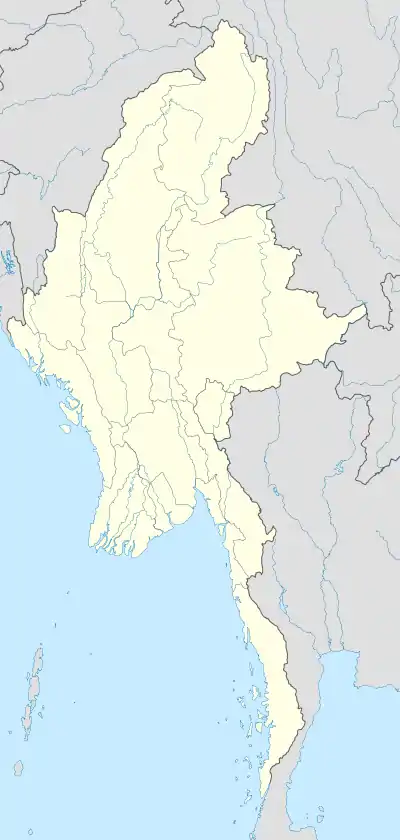
Location of Tenasserim Island in Burma
Tenasserim Island[1] is an island in the Mergui Archipelago, Burma (Myanmar). It is located at the northwestern end of the archipelago 15 km to the south of Kabosa Island. 494 m high, Tenasserim Peak is the highest peak of this steep and thickly wooded island. It is a 10 km long and irregularly shaped island.
References
- ↑ Prostar Sailing Directions 2005 India & Bay of Bengal Enroute By National Geospatial-intelligence Agency
External links
12°34′N 97°51′E / 12.567°N 97.850°E
This article is issued from Wikipedia. The text is licensed under Creative Commons - Attribution - Sharealike. Additional terms may apply for the media files.