Tensaw | |
|---|---|
 | |
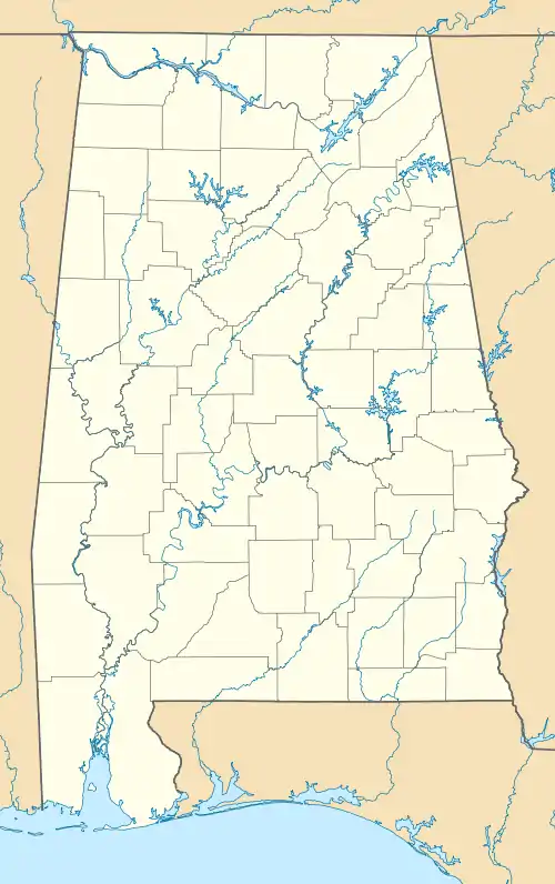
 Tensaw Location within the state of Alabama  Tensaw Tensaw (the United States) | |
| Coordinates: 31°09′25″N 87°47′57″W / 31.15694°N 87.79917°W | |
| Country | United States |
| State | Alabama |
| County | Baldwin |
| Elevation | 141 ft (43 m) |
| Time zone | UTC-6 (Central (CST)) |
| • Summer (DST) | UTC-5 (CDT) |
| GNIS feature ID | 157149[1] |
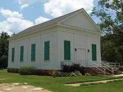
Tensaw is an unincorporated community in Baldwin County, Alabama, United States. It is part of the Daphne–Fairhope–Foley Micropolitan Statistical Area and is the home of historic Fort Mims.
The name Tensaw is derived from the historic indigenous Taensa people.[2] A post office operated under the name Tensaw from 1807 to 1953.[3]
Three former stockade forts used during the Creek War (part of the War of 1812), were located near Tensaw: Fort Mims (site of the Fort Mims massacre), Fort Montgomery, and Fort Pierce.[4]
Gallery
Below are structures that were located in Tensaw that were recorded in the Historic American Buildings Survey:
 Atkinson-Till House
 Tunstall House
References
- ↑ "Tensaw". Geographic Names Information System. United States Geological Survey, United States Department of the Interior.
- ↑ Swanton, John Reed (1952). The Indian Tribes of North America. US Government Printing Office. p. 210. ISBN 978-0-8063-1730-4.
- ↑ "Baldwin County". Jim Forte Postal History. Retrieved January 4, 2015.
- ↑ Harris, W. Stuart (1977). Dead Towns of Alabama. Tuscaloosa, Alabama: University of Alabama Press. pp. 45–7. ISBN 0-8173-1125-4.
This article is issued from Wikipedia. The text is licensed under Creative Commons - Attribution - Sharealike. Additional terms may apply for the media files.
