Ternevig | |
|---|---|
Neighborhood in Kristiansand | |
 View of the neighborhood | |
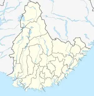
 Ternevig Location of the neighborhood  Ternevig Ternevig (Norway) | |
| Coordinates: 58°06′22″N 7°58′38″E / 58.1060°N 07.9771°E | |
| Country | Norway |
| County | Agder |
| Municipality | Kristiansand |
| Borough | Vågsbygd |
| District | Voiebyen |
| Elevation | 0 m (0 ft) |
| Time zone | UTC+01:00 (CET) |
| • Summer (DST) | UTC+02:00 (CEST) |
| Postal code | 4623 |
| Area code | 38 |
Ternevig is a neighbourhood in the city of Kristiansand in Agder county, Norway. The neighborhood is located in the borough of Vågsbygd and in the district of Voiebyen. Ternevig is northeast of Møvik, southeast of Voie, east of Møviklia, and west of the ocean and the island of Andøya.[2] There is a small hospital located in Ternevig serving the borough of Vågsbygd. There is also a marina located in this neighborhood.
Transport
| Line | Destination[3] |
|---|---|
| County Road 457 | Flekkerøy - Voie |
| Line | Destination[4] |
|---|---|
| M1 | Flekkerøy - Sørlandsparken - Dyreparken IKEA |
| M1 | Flekkerøy - Kvadraturen |
| M2 | Voiebyen - Hånes |
| M2 | Voiebyen - Hånes - Lauvåsen |
| M2 | Voiebyen - Hånes - Kjevik/Tveit |
| M2 | Voiebyen - Kvadraturen |
| N2 | Flekkerøy - Voiebyen - Kvadraturen |
References
- ↑ "Ternevig båthavn, Kristiansand (Vest-Agder)". yr.no. Retrieved 2017-03-05.
- ↑ "Kristiansand Kommune - Ternevig". kristiansand.kommune.no. Retrieved 2015-01-01.
- ↑ "Statens Vegvesen". vegvesen.no. Retrieved 2015-01-01.
- ↑ "Agder Kollektiv Transport". akt.no. Retrieved 2015-01-01.
This article is issued from Wikipedia. The text is licensed under Creative Commons - Attribution - Sharealike. Additional terms may apply for the media files.