| Thangman Kangri | |
|---|---|
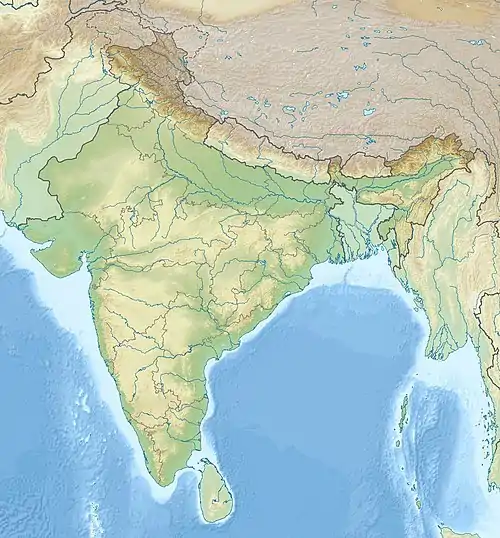 Thangman Kangri Location in Ladakh 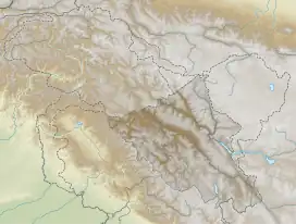 Thangman Kangri Thangman Kangri (Ladakh) | |
| Highest point | |
| Elevation | 6,864 m (22,520 ft) |
| Prominence | 604 m (1,982 ft) |
| Coordinates | 35°08′48″N 77°37′22″E / 35.146793°N 77.622673°E |
| Geography | |
| Location | Ladakh |
| Climbing | |
| First ascent | No records |
Thangman Kangri is one of highest peak in the remote Rimo Muztagh, a subrange of the Karakoram range in Ladakh union territory of India.
Location
The peak is at 6,864 m (22,520 ft) above sea level, situated just 4.15 km east of the Mamostong Kangri, to which it is connected by a ridge.[1] In between there is a 6,260 m (20,540 ft) high saddle. The mountain is flanked by the South Chong Kumdan Glacier to the north and the Thangman Glacier to the south. The prominence is at 604 m (1,982 ft).
Climbing history
There are no documented ascents of Thangman Kangri.
References
- ↑ "Thangman Kangri - Peakbagger.com". www.peakbagger.com. Retrieved 2022-03-13.
This article is issued from Wikipedia. The text is licensed under Creative Commons - Attribution - Sharealike. Additional terms may apply for the media files.