The Anchorage | |
|---|---|
Former CDP | |
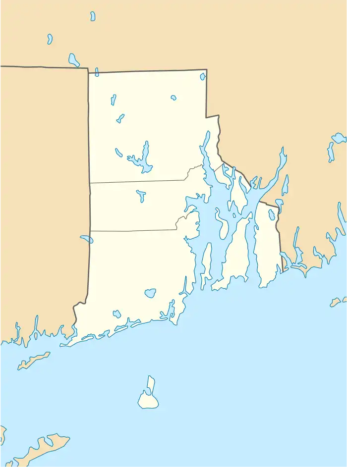
 The Anchorage Location within the state of Rhode Island | |
| Coordinates: 41°31′48″N 71°18′21″W / 41.53000°N 71.30583°W | |
| Country | United States |
| State | Rhode Island |
| Counties | Newport |
| Area | |
| • Land | 0.2 sq mi (0.5 km2) |
| Population (1970) | |
| • Total | 3,441 |
| Time zone | UTC-5 (Eastern (EST)) |
| • Summer (DST) | UTC-4 (EDT) |
| ZIP code | 02885 |
| Area code | 401[1] |
| FIPS code | 44-69800[2] |
The Anchorage was a census-designated place in Newport County, Rhode Island during the 1970 United States Census.[3] The population in recorded was 3,441.[4] The census area dissolved in 1980 and was never reorganized since.[5] The ZIP code serving the area is 02885.
Geography
Located at 41.529953 north and 71.305724 west, the census area of The Anchorage was located in the western part of the town of Middletown.[6] The land area of the CDP was 0.2 square mile and had a population density of 17,205 persons per sq. mi.[7]
References
- ↑ The Anchorage, Rhode Island profile. Roadside Thoughts. Retrieved 2013-09-11.
- ↑ The Anchorage, Rhode Island. Roadside Thoughts. Retrieved 2013-09-11.
- ↑ 1970 U.S. census: Rhode Island, Retrieved 2013-09-11.
- ↑ 1970 U.S. census: Rhode Island. Retrieved 2013-09-11.
- ↑ 1980 Census of Population: Supplementary report. Population and land area of Urbanized Areas of the United States: 1980 & 1970. United States Census Bureau. 1983. Retrieved 2013-09-11.
- ↑ 1970 Census of Population: Missouri-Wyoming, Puerto Rico, and outlying areas. United States Census Bureau. Retrieved 2013-09-11.
- ↑ 1970 U.S. census: Rhode Island, Retrieved 2013-09-11.
This article is issued from Wikipedia. The text is licensed under Creative Commons - Attribution - Sharealike. Additional terms may apply for the media files.