 Viewed from the north-west | |
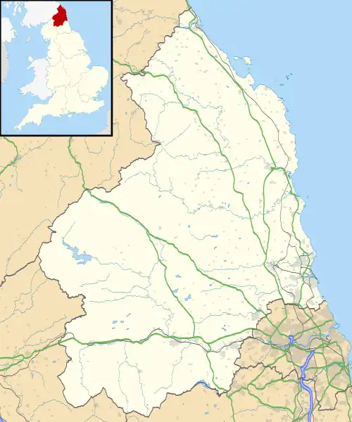
 Shown within Northumberland | |
| Location | near Bolam |
|---|---|
| Coordinates | 55°8′0.240″N 1°53′53.916″W / 55.13340000°N 1.89831000°W |
| OS grid reference | NZ 066 821 |
| Type | Tumulus, standing stone |
| History | |
| Periods | Late Neolithic/ Early Bronze Age |
| Site notes | |
| Archaeologists | John Warburton |
| Designated | 28 November 1932 |
| Reference no. | 1015530 |
The Poind and his Man is a prehistoric site in Northumberland, England, near the village of Bolam and about 7 miles (11 km) west of Morpeth. The site, consisting of a burial mound and a standing stone, is a scheduled monument.[1]
Description
The burial mound, described as a round cairn, is situated on a small knoll. It dates from the Late Neolithic to Early Bronze Age. Its diameter is 14 metres (46 ft), and it is 1.9 metres (6 ft 3 in) high.[1]
A standing stone, height 2 metres (6 ft 7 in), is next to the mound; it was formerly one of two such stones ("the poind and his man").[1] The standing stone in the grounds of Wallington Hall is thought to have been moved from here in the early 18th century.[1][2]
The mound was partly excavated in the 18th century by John Warburton. He found a cist near the top of the centre of the mound.[1]
Archaeological sites nearby
- Huckhoe Settlement, an Iron Age and Romano-British site
- Shaftoe Crags Settlement, a Romano-British site
- Slate Hill Settlement, an Iron Age site
References
- 1 2 3 4 5 Historic England. "Standing stone and adjacent round cairn, 760m north east of East Shaftoe Hall (1015530)". National Heritage List for England. Retrieved 11 December 2021.
- ↑ Historic England. "Wallington Hall (21146)". Research records (formerly PastScape). Retrieved 11 December 2021.