| Ndakaini Dam | |
|---|---|
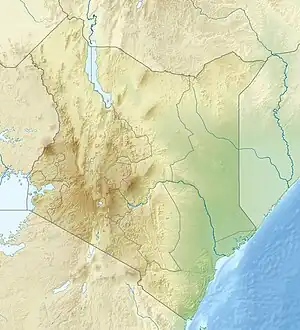
 Location of Ndakaini Dam in Kenya | |
| Country | Kenya |
| Coordinates | 0°49′13″S 36°51′01″E / 0.82028°S 36.85028°E |
| Status | Operational |
| Construction began | 1989[1] |
| Opening date | 1994[2] |
| Construction cost | 20m Kenyan Shillings[1] |
| Owner(s) | Athi Water Services Board |
| Dam and spillways | |
| Type of dam | Embankment, earth-fill |
| Height | 63 m (207 ft)[2] |
| Length | 458 m (1,503 ft)[2] |
| Dam volume | 2,340,000 m3[2] |
| Spillway capacity | 390 m3/s[2] |
| Reservoir | |
| Total capacity | 70,000,000 m3 (56,750 acre⋅ft)[2] |
| Inactive capacity | 1,000,000 m3 (811 acre⋅ft)[2] |
| Catchment area | 75 km2[1] |
| Surface area | 280 ha[2] |
The Ndakaini dam is a 63 m high, 458 m crest length earthfill dam on the Thika River near the small town of Ndakaini , 50 km north of Nairobi, Kenya. The reservoir has a storage capacity of 70 million cubic metres and serves for drinking water supply. Water is treated at the Ngethu treatment works. The dam has increased the reliability of water supply to Nairobi, which suffered water shortages during the dry season before construction of the dam was completed in 1994. The dam has been financed by the African Development Bank, the World Bank, the European Investment Bank and the Kenyan government.[1] Its construction had been delayed because of difficulties in land acquisition, leading to cost overruns.[3] During construction the dam design has been modified to allow it to withstand a 1:10,000-year flood and to improve dam safety.[4]
References
- 1 2 3 4 Nairobi City Water and Sewerage Company. "Thika Dam (Ndakaini) Brief". Retrieved 12 November 2011.
- 1 2 3 4 5 6 7 8 Howard Humphreys. "Thika Dam Background". Retrieved 12 November 2011.
- ↑ Olima, W.H.A.; O.A. K'akumu (December 1999). "The problems of project implementation:: a post-mortem study of Thika Dam project, Kenya". Habitat International. 23 (4): 467–479. doi:10.1016/S0197-3975(99)00021-1.
- ↑ African Development Bank:Project Completion Report:Third Nairobi Water Supply Project, July 1998, p. 9