| Thorpe Marriott | |
|---|---|
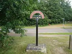
 Marriott's Way passes through the locality close to the village green | |
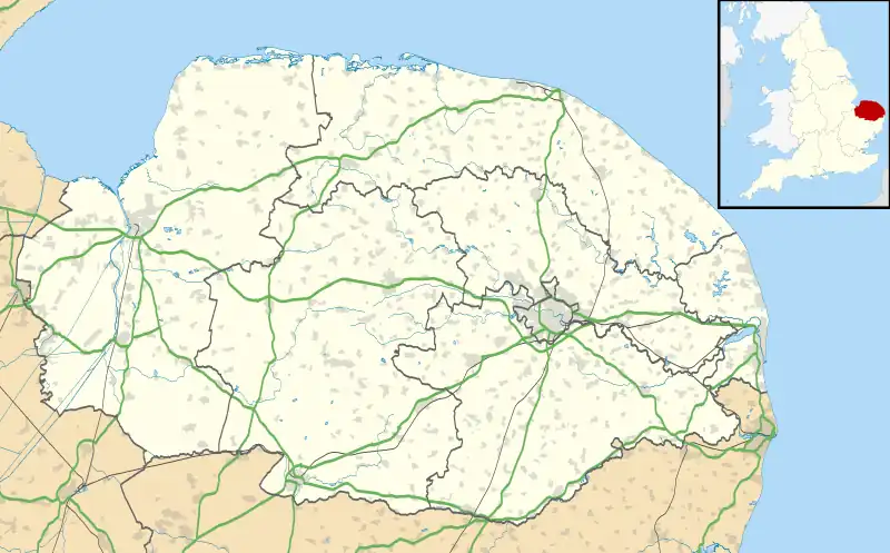
 Thorpe Marriott Location within Norfolk | |
| OS grid reference | TG165145 |
| District | |
| Shire county | |
| Region | |
| Country | England |
| Sovereign state | United Kingdom |
| Post town | NORWICH |
| Postcode district | NR8 |
| Dialling code | 01603 |
| Police | Norfolk |
| Fire | Norfolk |
| Ambulance | East of England |
| UK Parliament | |
Thorpe Marriott is a residential area in Norfolk, England covering part of Taverham and Drayton parishes. Much of the housing was built in the latter part of the 20th century.
It enjoys the amenities of both parishes, which are easily accessible from Fakenham Road (A1047). Although lacking its own school and surgery, The Square in Thorpe Marriott holds five shops, Thorpe Marriott village hall, Trinity Ecumenical Church (Methodist & Anglican) and The Otter public house. In support of the community, Trinity Church hosts a website about the village and its history.[1]
Thorpe Marriott, though being a relatively small area, is home to over 3,600 families. There are three large parks, which at weekends become home to two different children's football teams.
Marriott's Way
Passing through the development is Marriott's Way, a long distance footpath, bridleway and cycle route which forms part of National Cycle Route 1.[2] The route follows two disused railway lines, and runs between the market town of Aylsham and Norwich.[3]
References
- ↑ "Trinity Church Centre - Thorpe Marriott". Archived from the original on 25 December 2018. Retrieved 22 July 2022.
- ↑ "Marriott's Way".
- ↑ "Home". marriottsway.info.