Tirns
Turns | |
|---|---|
Village | |
 Tirns Church | |
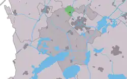
 Location in the former Wymbritseradiel municipality | |
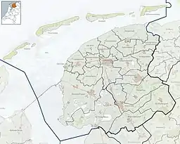
 Tirns Location in the Netherlands  Tirns Tirns (Netherlands) | |
| Coordinates: 53°3′32″N 5°37′35″E / 53.05889°N 5.62639°E | |
| Country | |
| Province | |
| Municipality | |
| Area | |
| • Total | 4.78 km2 (1.85 sq mi) |
| Elevation | 0.3 m (1.0 ft) |
| Population (2021)[1] | |
| • Total | 185 |
| • Density | 39/km2 (100/sq mi) |
| Postal code | 8632[1] |
| Dialing code | 0515 |
Tirns (West Frisian: Turns) is a village in Súdwest-Fryslân in the province of Friesland, the Netherlands. It had a population of around 170 in January 2017.[3]
History
The village was first mentioned in the 13th century as Terdenghe, and means "settlement of the people of Teerd".[4] Tirns is a little terp (artificial living hill) village near the former Middelzee. It was connected to Franeker via a canal.[5]
The church was built in 1699 as a replacement of the medieval church. The cemetery was used both by the Protestant and Catholics. The monastery Thabor was located about one kilometre south of Tirns and was a priory of the Augustinians founded in 1406.[5] The monks of the priory constructed several dikes in the area.[6] The monastery was destroyed in 1572 by the Geuzen.[5]
Tirns was home to 290 people in 1840.[6] Before 2011, the village was part of the Wymbritseradiel municipality.[6]
Gallery
 Art in Tirns
References
- 1 2 3 "Kerncijfers wijken en buurten 2021". Central Bureau of Statistics. Retrieved 6 April 2022.
two entries
- ↑ "Postcodetool for 8632WE". Actueel Hoogtebestand Nederland (in Dutch). Het Waterschapshuis. Retrieved 6 April 2022.
- ↑ Kerncijfers wijken en buurten 2017 - CBS Statline
- ↑ "Tirns - (geografische naam)". Etymologiebank (in Dutch). Retrieved 6 April 2022.
- 1 2 3 "Tirns". Friesland wonderland (in Dutch). Retrieved 6 April 2022.
- 1 2 3 "Tirns". Plaatsengids (in Dutch). Retrieved 6 April 2022.
External links
![]() Media related to Tirns at Wikimedia Commons
Media related to Tirns at Wikimedia Commons