 | |
 Tjeldøya Location of the island 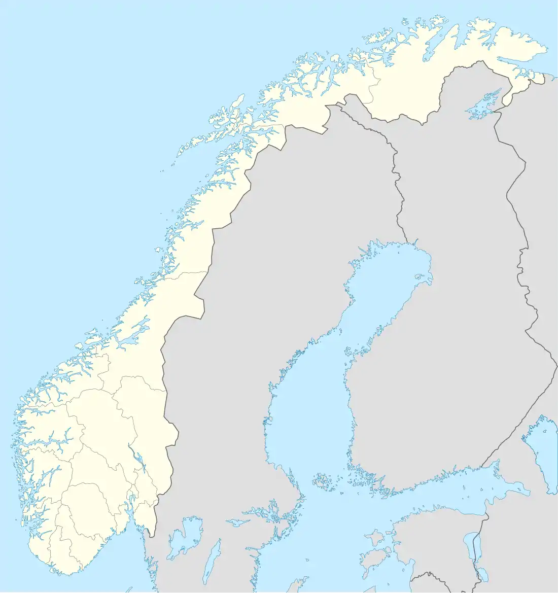 Tjeldøya Tjeldøya (Norway) | |
| Geography | |
|---|---|
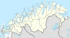
| Location | Troms og Finnmark, Norway |
| Coordinates | 68°27′09″N 16°09′50″E / 68.4526°N 16.1638°E |
| Area | 187 km2 (72 sq mi) |
| Highest elevation | 1,010 m (3310 ft) |
| Highest point | Trollfjellet |
| Administration | |
Norway | |
| County | Troms og Finnmark |
| Municipality | Tjeldsund Municipality |
| Demographics | |
| Population | 192[1] (2016) |
| Pop. density | 1/km2 (3/sq mi) |
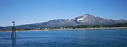
Tjeldøya (Norwegian) or Dielddasuolu (Northern Sami) is an island in Troms og Finnmark county, Norway. The 187-square-kilometre (72 sq mi) island is located entirely in Tjeldsund Municipality. North and west of the island lies the Tjeldsundet strait which separates it from the large island of Hinnøya; south of the island is the Ofotfjorden; and east of the island lies the Ramsundet strait which separates it from the mainland of Norway. Tjeldøya is connected to the mainland by the Ramsund Bridge, about 7 kilometres (4.3 mi) south of the village of Hol.[1]
See also
References
- 1 2 "Tjeldøya". Great Norwegian Encyclopedia (in Norwegian). 25 January 2023.
This article is issued from Wikipedia. The text is licensed under Creative Commons - Attribution - Sharealike. Additional terms may apply for the media files.