Toltén | |
|---|---|
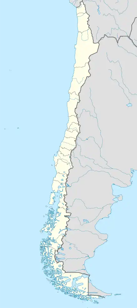
 Toltén Location in Chile | |
| Coordinates (commune): 39°10′43″S 73°09′56″W / 39.17861°S 73.16556°W | |
| Country | Chile |
| Region | Araucanía |
| Province | Cautín |
| Founded | 1866 |
| Government | |
| • Type | Municipality |
| • Alcalde | Rafael García Ferlice (UDI) |
| Area | |
| • Total | 860.4 km2 (332.2 sq mi) |
| Elevation | 10 m (30 ft) |
| Population (2012 Census)[2] | |
| • Total | 10,291 |
| • Density | 12/km2 (31/sq mi) |
| • Urban | 4,123 |
| • Rural | 7,093 |
| Sex | |
| • Men | 5,827 |
| • Women | 5,389 |
| Time zone | UTC−04:00 (CLT[3]) |
| • Summer (DST) | UTC−03:00 (CLST[4]) |
| Area code | 56 + 45 |
| Website | www |
Toltén is a Chilean commune located at the lower flows Toltén River at the southern coast of Cautín Province which is part of Araucanía Region. The commune is administered by the municipality Nueva Toltén, the main harbour and town within the commune.
Demographics
According to the 2002 census of the National Statistics Institute, Toltén spans an area of 860.4 km2 (332 sq mi) and has 11,216 inhabitants (5,827 men and 5,389 women). Of these, 4,123 (36.8%) lived in urban areas and 7,093 (63.2%) in rural areas. The population fell by 7% (845 persons) between the 1992 and 2002 censuses.[2]
The main settlements are Nueva Toltén, Queule, Villa Los Boldos and Los Pinos.[5]
Administration
As a commune, Toltén is a third-level administrative division of Chile administered by a municipal council, headed by an alcalde who is directly elected every four years. The 2008–2012 alcalde is Rafael García Ferlice (UDI).[1]
Within the electoral divisions of Chile, Toltén is represented in the Chamber of Deputies by René Manuel García (RN) and Fernando Meza (PRSD) as part of the 52nd electoral district, together with Cunco, Pucón, Curarrehue, Villarrica, Loncoche and Gorbea. The commune is represented in the Senate by José Garcia Ruminot (RN) and Eugenio Tuma Zedan (PPD) as part of the 15th senatorial constituency (Araucanía-South).
References
- 1 2 "Asociación Chilena de Municipalidades" (in Spanish). Archived from the original on 19 April 2011. Retrieved 23 February 2011.
- 1 2 3 4 "National Statistics Institute" (in Spanish). Retrieved 13 December 2010.
- ↑ "Chile Time". WorldTimeZones.org. Archived from the original on 11 September 2007. Retrieved 29 July 2010.
- ↑ "Chile Summer Time". WorldTimeZones.org. Archived from the original on 11 September 2007. Retrieved 29 July 2010.
- ↑ "Ciudades, pueblos, aldeas y caceríos 2019" (PDF) (in Spanish). National Statistics Institute. 2019. Retrieved 1 November 2020.

