| Trakai Historical National Park | |
|---|---|
 | |
 Trakai Historical National Park | |
| Location | Lithuania |
| Nearest city | Trakai |
| Coordinates | 54°38′20″N 24°25′08″E / 54.639°N 24.419°E |
| Area | 81.49 km2 (31.46 sq mi) |
| Established | 1992 |
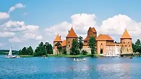
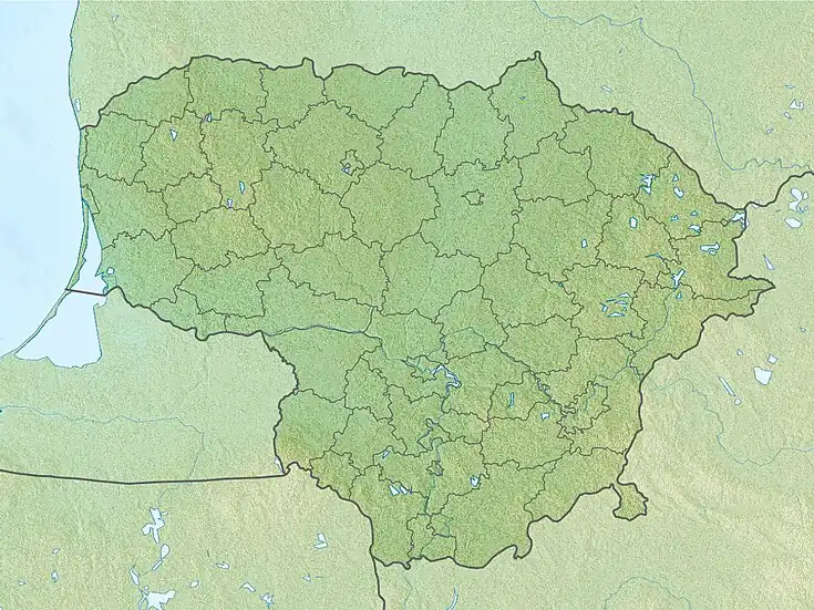
Trakai Historical National Park is a national park in Lithuania. It was designated in 1992 to embrace the historic city of Trakai, some 25 kilometers west of Vilnius, and the forests, lakes, and villages in its environs. The Park has Category II in the classification of the IUCN.[1] It is the only historical national park in Europe. [2]
Nature
The parallel chains of hills and ridges formed by the glacier alternate with narrow and deep or wide and flat lake-like ridges. There are 32 lakes in the park. Lakes Galvė, Skaistis, Totoriškių, Luka connect with ducts and form a single system. The largest of the lakes is Lake Galvė with 21 islands (the most famous is Castle Island) and the cleanest is Akmena lake.
Of interest are the Kudrionys forest and the Plomėnų and Varnikai wetlands, where many mammals and bird species find refuge. Plomėnų swamp has a large colony of waterfowl and many species of protected plants. Lake Plomėnų is home to a large colonies of black-headed gulls. The nature of the Varnikai Reserve can be explored on a hiking trail.
The park is famous for the number of sights and it attractive surroundings. There is a hilltop on the north shore of Galvė lake, opening up great views.
Gallery

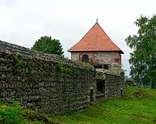 The old Trakai Peninsula Castle
 Užutrakis Manor, as seen from the lake
 Užutrakis Manor garden
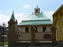 The Karaim kenesa
 Hot air balloons flight over the national park
See also
References
- ↑ Traku Istorinis Nacionalinis Parkas in Lithuania Protected Planet
- ↑ "Trakai Historical - National Park". visitlithuania.net. Retrieved 23 November 2019.
- ↑ "Trakai Historical National Park". unesco.org. Retrieved 23 November 2019.