Trenton | |
|---|---|
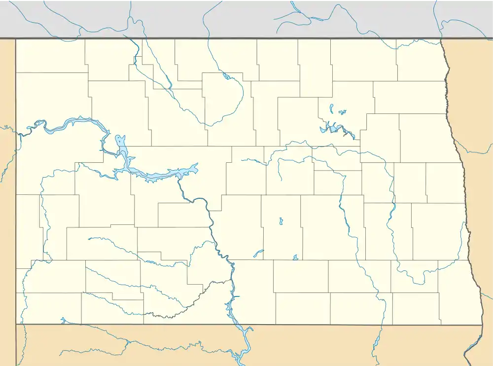 Trenton Location within the state of North Dakota  Trenton Trenton (the United States) | |
| Coordinates: 48°04′12″N 103°50′35″W / 48.07000°N 103.84306°W | |
| Country | United States |
| State | North Dakota |
| County | Williams |
| Area | |
| • Total | 1.05 sq mi (2.71 km2) |
| • Land | 1.05 sq mi (2.71 km2) |
| • Water | 0.00 sq mi (0.00 km2) |
| Elevation | 1,933 ft (589 m) |
| Population (2020) | |
| • Total | 488 |
| • Density | 466.09/sq mi (179.98/km2) |
| Time zone | UTC-6 (Central (CST)) |
| • Summer (DST) | UTC-5 (CDT) |
| ZIP codes | 58853 |
| Area code | 701 |
| FIPS code | 38-79460 |
| GNIS feature ID | 2805291[2] |
Trenton is an unincorporated community and census-designated place (CDP) in northwestern Williams County, North Dakota, United States. It lies along North Dakota Highway 1804 southwest of the city of Williston, the county seat of Williams County.[3] The community lies 220 miles north-west of Bismarck. It was first listed as a CDP prior to the 2020 census.
In July 2013, An Amtrak Empire Builder train collided with a bulldozer 9 miles (14 km) west of Trenton, killing the operator.[4]
Demographics
| Census | Pop. | Note | %± |
|---|---|---|---|
| 2020 | 488 | — | |
| U.S. Decennial Census[5] | |||
Climate
According to the Köppen Climate Classification system, Trenton has a semi-arid climate, abbreviated "BSk" on climate maps.[6]
Education
It is within the Eight Mile School District.[7]
References
- ↑ "ArcGIS REST Services Directory". United States Census Bureau. Retrieved September 20, 2022.
- 1 2 U.S. Geological Survey Geographic Names Information System: Trenton, North Dakota
- ↑ Rand McNally. The Road Atlas '08. Chicago: Rand McNally, 2008, p. 77.
- ↑ "Williston man dies in train-bulldozer crash".
- ↑ "Census of Population and Housing". Census.gov. Retrieved June 4, 2016.
- ↑ Climate Summary for Trenton, North Dakota
- ↑ "2020 CENSUS - SCHOOL DISTRICT REFERENCE MAP: Williams County, ND" (PDF). U.S. Census Bureau. Retrieved August 12, 2021.
Municipalities and communities of Williams County, North Dakota, United States | ||
|---|---|---|
| Cities |  Map of North Dakota highlighting Williams County | |
| Townships |
| |
| Unorganized territories |
| |
| CDPs | ||
| Other communities | ||
| Indian reservation | ||
| Footnotes | ‡This populated place also has portions in an adjacent county or counties | |
This article is issued from Wikipedia. The text is licensed under Creative Commons - Attribution - Sharealike. Additional terms may apply for the media files.