Tyler Municipal Airport | |||||||||||
|---|---|---|---|---|---|---|---|---|---|---|---|
| Summary | |||||||||||
| Airport type | Public | ||||||||||
| Owner | City of Tyler | ||||||||||
| Time zone | CST (UTC−06:00) | ||||||||||
| • Summer (DST) | CDT (UTC−05:00) | ||||||||||
| Elevation AMSL | 1,732 ft / 531 m | ||||||||||
| Coordinates | 44°17′30″N 096°09′1.2″W / 44.29167°N 96.150333°W | ||||||||||
| Map | |||||||||||
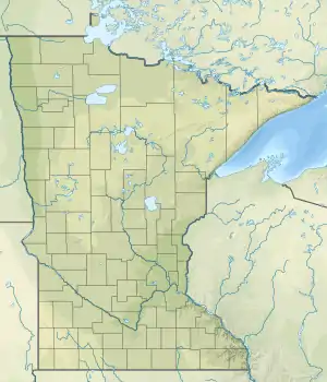 63Y Location of airport in Minnesota  63Y 63Y (the United States) | |||||||||||
| Runways | |||||||||||
| |||||||||||
Tyler Municipal Airport (FAA LID: 63Y) is an airport located 1 mile north west of Tyler, Minnesota, United States. The airport has a single lighted turf runway and rotating beacon. The taxiways are also lighted.
History
The airport underwent an improvement in 1999 to correct drainage issues. The nearby golf course was expanded to 18 holes at the same time.[1]
See also
References
- ↑ Foster, Tom (December 2018). "Airport of the Month". Minnesota Flyer.
External links
- Resources for this airport:
- FAA airport information for 63Y
- AirNav airport information for 63Y
- FlightAware airport information and live flight tracker
- SkyVector aeronautical chart for 63Y
This article is issued from Wikipedia. The text is licensed under Creative Commons - Attribution - Sharealike. Additional terms may apply for the media files.