Ubari Airport مطار أوباري | |||||||||||
|---|---|---|---|---|---|---|---|---|---|---|---|
| Summary | |||||||||||
| Airport type | Military/Public | ||||||||||
| Serves | Ubari, Libya | ||||||||||
| Elevation AMSL | 1,528 ft / 466 m | ||||||||||
| Coordinates | 26°34′05″N 12°49′25″E / 26.56806°N 12.82361°E | ||||||||||
| Map | |||||||||||
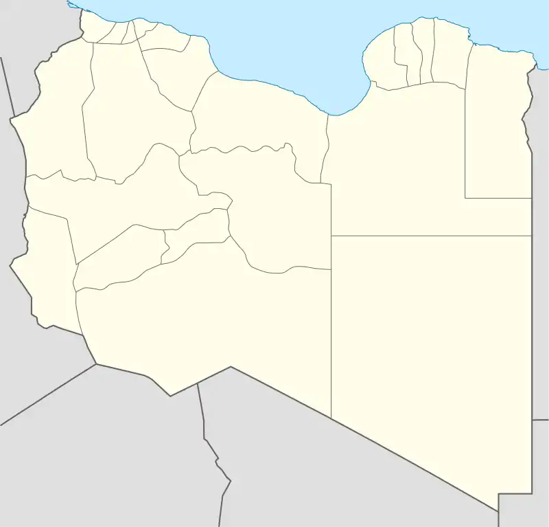
 QUB Location within Libya | |||||||||||
| Runways | |||||||||||
| |||||||||||
Ubari Airport (IATA: QUB, ICAO: HLUB) is an airport serving Ubari, a city in the Wadi al Hayaa District of Libya. It is mostly military, but has recently been used by Prepare2go[4] for civil aviation flying safaris around the country.
The runway is asphalt, with a 200 metres (660 ft) concrete touchdown zone on each end.[2]
The Ubari non-directional beacon (Ident: UBR) is located on the field.[5]
Airlines and destinations
| Airlines | Destinations |
|---|---|
| Libyan Airlines | Tripoli–Mitiga |
See also
References
- ↑ Airport information for Ubari Airport at Great Circle Mapper.
- 1 2 "Ubari Airport". Google Maps. Retrieved 10 September 2018.
- ↑ "Ubari Airport". SkyVector. Retrieved 10 September 2018.
- ↑ "Prepare2Go". Retrieved 10 September 2018.
- ↑ "Ubari NDB". Our Airports. Retrieved 10 September 2018.
External links
This article is issued from Wikipedia. The text is licensed under Creative Commons - Attribution - Sharealike. Additional terms may apply for the media files.