| Ulu Titi Basah | |
|---|---|
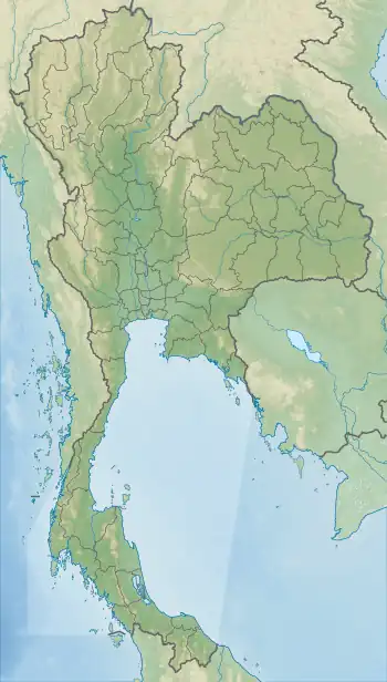 Ulu Titi Basah Location in Thailand, on the border with Malaysia | |
| Highest point | |
| Elevation | 1,533 m (5,030 ft) |
| Listing | List of mountains in Thailand |
| Coordinates | 5°48′N 101°19′E / 5.800°N 101.317°E |
| Geography | |
| Location | Betong District, Yala Province, Thailand Hulu Perak District, Perak State, Malaysia |
| Parent range | Sankalakhiri Range |
| Geology | |
| Mountain type | granite |
| Climbing | |
| First ascent | unknown |
Ulu Titi Basah (Thai: เขาฮูลูติติปาซา; Malay: Gunung Ulu Titi Basah) is the southernmost high peak of Thailand. This 1,533 m high peak is located on the Malaysia-Thailand border between Betong District of Yala Province and Hulu Perak in the state of Perak.[1]
Geography
Ulu Titi Basah is the highest summit of the Sankalakhiri Range (Thai: ทิวเขาสันกาลาคีรี), the northern section of the Titiwangsa Mountains, a sub-range of the Tenasserim Hills.
See also
References
- ↑ "Gunong Ulu Titi Basah: Thailand". Geographical Names. Retrieved 4 May 2018.
External links
- Gunong Ulu Titi Basah, Thailand
- Damrong (in Thai)
This article is issued from Wikipedia. The text is licensed under Creative Commons - Attribution - Sharealike. Additional terms may apply for the media files.