Ungheni | |
|---|---|
 | |
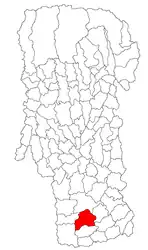 Location in Argeș County | |
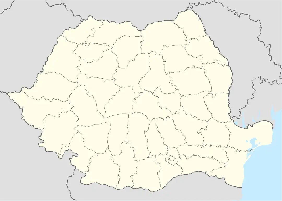 Ungheni Location in Romania | |
| Coordinates: 44°30′N 24°58′E / 44.500°N 24.967°E | |
| Country | Romania |
| County | Argeș |
| Population (2021-12-01)[1] | 2,349 |
| Time zone | EET/EEST (UTC+2/+3) |
| Vehicle reg. | AG |
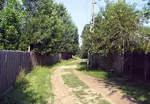
A dirt road through Ungheni
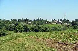
Ungheni is a commune in the southwestern part of Argeș County, Muntenia, Romania. It is composed of six villages: Colțu, Găujani, Goia, Humele, Satu Nou and Ungheni.
Nearby localities are Recea (to the east), Miroși (to the south), Stolnici (to the west) and Buzoești (to the north). The National Road DN65A Pitești - Costești - Roșiorii de Vede - Turnu Măgurele goes through Ungheni. The nearest river is Teleorman.

References
This article is issued from Wikipedia. The text is licensed under Creative Commons - Attribution - Sharealike. Additional terms may apply for the media files.