Upatoi is a community in northeastern Muscogee County, Georgia, United States.[1][2] Upatoi was annexed by the city of Columbus, Georgia, in 1971 as part of the consolidation of the city and county governments.[3] The community is on Georgia Route 22 and U.S. Route 80 approximately 15 miles east of Columbus.[1] Upatoi Creek is on the southern boundary of Muscogee County approximately three miles south of the community.[1] The ZIP Code for Upatoi is 31829.[4]
History
A post office was established at Upatoi in 1829 and has since closed.[5]
The Norfolk Southern Railway marks the southern boundary of Upatoi and the northern boundary of Fort Benning.[1]
References
- 1 2 3 4 Utapoi, GA, 7.5 Minute Topographic Quadrangle, USGS, 1955
- ↑ U.S. Geological Survey Geographic Names Information System: Upatoi, Georgia
- ↑ "Columbus Consolidated Government - City/County Consolidation: Columbus, Georgia".
- ↑ "Upatoi ZIP Code". zipdatamaps.com. 2022. Retrieved November 18, 2022.
- ↑ "Post Offices". Jim Forte Postal History. Retrieved June 24, 2019.
Municipalities and communities of Muscogee County, Georgia, United States | ||
|---|---|---|
| Cities | 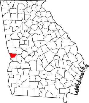 Map of Georgia highlighting Muscogee County | |
| Neighborhoods | ||
| Military base | ||
| Footnotes | ‡ This symbol represents that the indicated city is part of two or more counties. | |
| Central cities/largest cities |  Location of the Columbus, Georgia-Auburn, Alabama CSA and its counties:
Columbus, Georgia Metropolitan Statistical Area
Auburn, Alabama Metropolitan Statistical Area
Tuskegee, Alabama Micropolitan Statistical Area (defunct) | |
|---|---|---|
| Cities in Georgia | ||
| Cities in Alabama | ||
| Counties in Georgia | ||
| Counties in Alabama | ||
This article is issued from Wikipedia. The text is licensed under Creative Commons - Attribution - Sharealike. Additional terms may apply for the media files.