Valtetsi
Βαλτέτσι | |
|---|---|
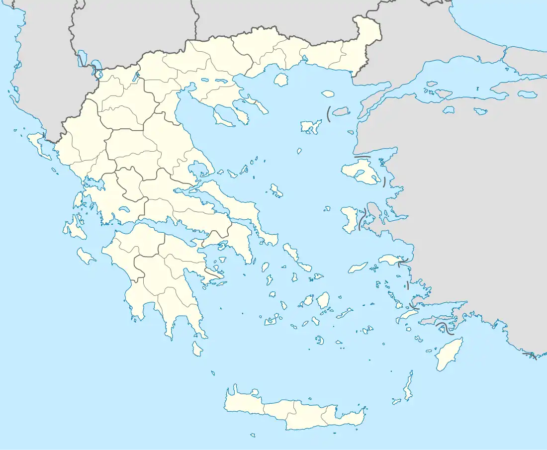 Valtetsi Location within the regional unit  | |
| Coordinates: 37°29′N 22°17′E / 37.483°N 22.283°E | |
| Country | Greece |
| Administrative region | Peloponnese |
| Regional unit | Arcadia |
| Municipality | Tripoli |
| • Municipal unit | 210.2 km2 (81.2 sq mi) |
| Population (2011)[1] | |
| • Municipal unit | 917 |
| • Municipal unit density | 4.4/km2 (11/sq mi) |
| Time zone | UTC+2 (EET) |
| • Summer (DST) | UTC+3 (EEST) |
| Vehicle registration | TP |
Valtetsi (Greek: Βαλτέτσι) is a former municipality in Arcadia, Peloponnese, Greece. Since the 2011 local government reform it is part of the municipality Tripoli, of which it is a municipal unit.[2] The municipal unit has an area of 210.243 km2.[3] Population 917 (2011). The seat of the municipality was in Asea. Valtetsi is located in the highlands southwest of Tripoli and northeast of Megalopoli.
Subdivisions
The municipal unit Valtetsi is subdivided into the following communities (constituent villages in brackets):
- Agriakona
- Ampelaki (Ampelaki, Lianos)
- Arachamites
- Asea (Asea, Kato Asea)
- Athinaio (Athinaio, Marmaria)
- Dafni (Dafni, Maniatis)
- Dorizas
- Kaltezes (Kaltezes, Kouvelia)
- Kerastaris
- Manaris
- Mavrogiannis
- Palaiochouni
- Paparis
- Valtetsi
Population
| Year | Municipal unit population |
|---|---|
| 1991 | 2,222 |
| 2001 | 1,842 |
| 2011 | 917 |
External links
References
- ↑ "Απογραφή Πληθυσμού - Κατοικιών 2011. ΜΟΝΙΜΟΣ Πληθυσμός" (in Greek). Hellenic Statistical Authority.
- ↑ "ΦΕΚ B 1292/2010, Kallikratis reform municipalities" (in Greek). Government Gazette.
- ↑ "Population & housing census 2001 (incl. area and average elevation)" (PDF) (in Greek). National Statistical Service of Greece.
This article is issued from Wikipedia. The text is licensed under Creative Commons - Attribution - Sharealike. Additional terms may apply for the media files.