Vamvakofyto
Βαμβακόφυτο | |
|---|---|
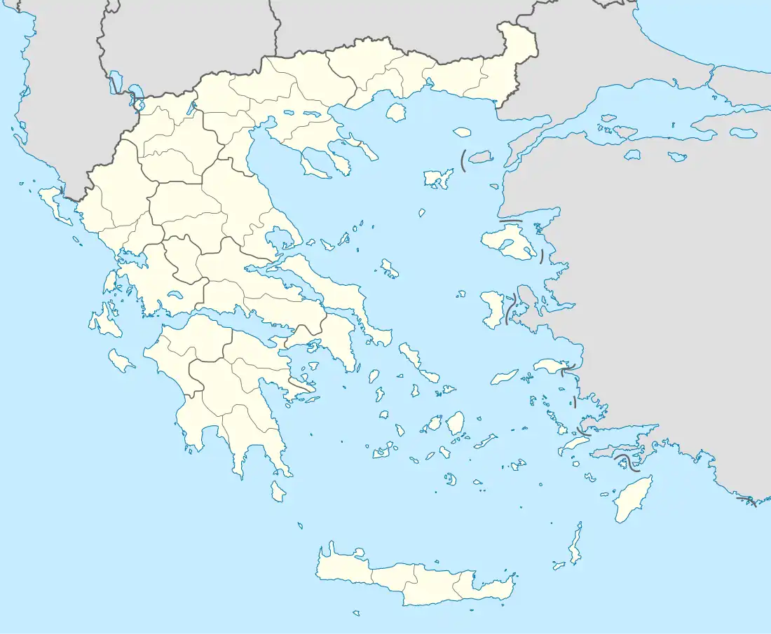 Vamvakofyto Location within the regional unit  | |
| Coordinates: 41°10′44″N 23°23′38″E / 41.179°N 23.394°E | |
| Country | Greece |
| Administrative region | Central Macedonia |
| Regional unit | Serres |
| Municipality | Sintiki |
| Municipal unit | Sidirokastro |
| • Municipal unit | 196.6 km2 (75.9 sq mi) |
| Elevation | 120 m (390 ft) |
| Population (2011)[1] | |
| • Municipal unit | 9,294 |
| • Municipal unit density | 47/km2 (120/sq mi) |
| Community | |
| • Population | 1,061 (2011) |
| Time zone | UTC+2 (EET) |
| • Summer (DST) | UTC+3 (EEST) |
| Postal code | 623 00 |
| Vehicle registration | ΕΡ |

Saint George Fresco in Saint Seorge Church in Vamvakofyto
Vamvakofyto (Greek: Βαμβακόφυτο; Medieval Greek: Σαβίακον, Saviakon; Bulgarian: Савяк, Saviak) is a village in the municipal unit Sidirokastro, in the northern part of Serres regional unit, Greece.
Its altitude is 120 meters.
Sources
- 1 2 "Απογραφή Πληθυσμού - Κατοικιών 2011. ΜΟΝΙΜΟΣ Πληθυσμός" (in Greek). Hellenic Statistical Authority.
This article is issued from Wikipedia. The text is licensed under Creative Commons - Attribution - Sharealike. Additional terms may apply for the media files.