Vasad
Vasudhanagari | |
|---|---|
| Vasad | |
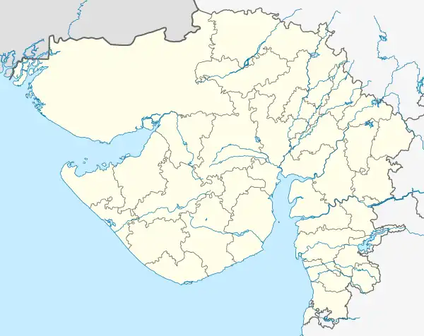
 Vasad Location in Gujarat, India  Vasad Vasad (India) | |
| Coordinates: 22°27′00″N 73°04′00″E / 22.4500°N 73.0667°E | |
| Country | |
| State | Gujarat |
| District | Anand |
| Government | |
| • Type | Gram panchayat |
| • Sarpanch | Dharmistha Alpeshbhai Patel (Delawala) |
| Elevation | 18.89 m (61.98 ft) |
| Population (2013) | |
| • Total | 14,384 |
| Languages | |
| • Official | Gujarati, Hindi |
| Time zone | UTC+5:30 (IST) |
| PIN | 388306 |
| Area code | 02692 |
| Vehicle registration | GJ |
Vasad is a town in the Anand District of Gujarat, India. It is located on the bank of the Mahi. It was formerly known as Vasudhanagari, is situated on the north bank of the Mahi and serves as a gateway to the Charotar.
Geography
Vasad is located between Ahmedabad and Vadodara. Forests surround Vasad to the south and northeast. The central government has established the Soil Conservation and Water Research Institute in Vasad to reduce soil erosion and improve water management in this part of Gujarat.
Economy
There are more than 45 toor dal (pigeon pea) processing mills located in Vasad.
Transport
Vasad is connected by road to National Highway 48.[1] Vasad Junction is the town's railway station.[2][3]
References
- ↑ "Vasad · Gujarat, India". Vasad · Gujarat, India. Retrieved 4 January 2022.
- ↑ "Google Maps". Google Maps. Retrieved 4 January 2022.
- ↑ "Vasad Junction Railway Station". www.mappls.com. Retrieved 1 October 2023.
Tejwani, KG. (1979) Soil fertility status, maintenance, and conservation for agroforestry systems on wasted lands in India.