| Höfðavatn | |
|---|---|
 Vesturhópsvatn | |
 Höfðavatn | |
| Location | Húnaþing vestra |
| Coordinates | 65°28′09″N 20°39′05″W / 65.46917°N 20.65139°W |
| Basin countries | Iceland |
| Surface area | 10 km2 (3.9 sq mi) |
| Average depth | 28 m (92 ft) |
| Max. depth | 28 m (92 ft) |
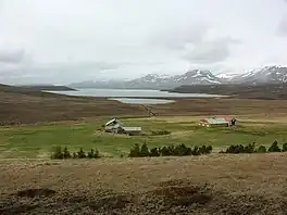
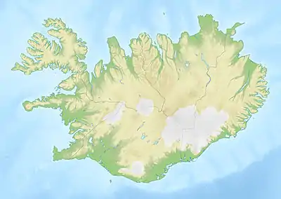
Vesturhópsvatn is a lake in northern Iceland. It is located in the municipality of Húnaþing vestra.[1][2]
Geography
The surface of the Vesturhópsvatn is about 10 km2; the maximum depth is 28m.[3][4]
References
- ↑ "Vesturhópsvatn". Fish Partner. Retrieved 2022-11-28.
- ↑ "Vesturhópsvatn – Iceland Road Guide". Retrieved 2022-11-28.
- ↑ "Vesturhópsvatn". Húnaþing vestra. Retrieved 2022-11-28.
- ↑ "Vesturhópsvatn - Veiðiheimar" (in Icelandic). Retrieved 2022-11-28.
This article is issued from Wikipedia. The text is licensed under Creative Commons - Attribution - Sharealike. Additional terms may apply for the media files.