Victoria Airport | |||||||||||
|---|---|---|---|---|---|---|---|---|---|---|---|
| Summary | |||||||||||
| Airport type | Public | ||||||||||
| Serves | Victoria | ||||||||||
| Elevation AMSL | 1,200 ft / 366 m | ||||||||||
| Coordinates | 14°56′05″N 87°23′39″W / 14.93472°N 87.39417°W | ||||||||||
| Map | |||||||||||
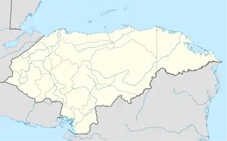
 VTA Location of the airport in Honduras | |||||||||||
| Runways | |||||||||||
| |||||||||||
Victoria Airport is an airport serving the town of Victoria in Yoro Department, Honduras. The airport is adjacent to the southwest side of the town.
There is mountainous terrain north through southeast of the airport, and rising terrain in other quadrants.
The Soto Cano VORTAC (Ident: ESC) is located 35.2 nautical miles (65.2 km) south-southwest of the airport.[3]
See also
References
- ↑ Airport information for VTA at Great Circle Mapper.
- ↑ Google Maps - Victoria
- ↑ "Soto Cano VORTAC". Our Airports. Retrieved 21 October 2018.
External links
- OpenStreetMap - Victoria
- HERE Maps - Victoria
- OurAirports - Victoria Airport
- Accident history for VTA at Aviation Safety Network
This article is issued from Wikipedia. The text is licensed under Creative Commons - Attribution - Sharealike. Additional terms may apply for the media files.