Vik | |
|---|---|
Village | |
 Vik Location of the village  Vik Vik (Norway) | |
| Coordinates: 58°22′06″N 8°37′22″E / 58.3683°N 08.6227°E | |
| Country | Norway |
| Region | Southern Norway |
| County | Agder |
| District | Østre Agder |
| Municipality | Grimstad |
| Elevation | 44 m (144 ft) |
| Time zone | UTC+01:00 (CET) |
| • Summer (DST) | UTC+02:00 (CEST) |
| Post Code | 4885 Grimstad |
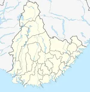
Vik is a village in Grimstad municipality in Agder county, Norway. The village is located at the northern end of the Kilen bay that flows past the town of Grimstad. The village sits at the junction of Norwegian County Road 420 and Norwegian County Road 407 on the south side of the European route E18 highway. The village was the administrative centre of the old municipality of Fjære. The historic Fjære Church lies about 1 kilometre (0.62 mi) west of the village.
References
- ↑ "Vik, Grimstad". yr.no. Retrieved 14 November 2017.
This article is issued from Wikipedia. The text is licensed under Creative Commons - Attribution - Sharealike. Additional terms may apply for the media files.