Villafranca de los Barros | |
|---|---|
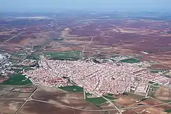 Aerial view (March 2021) | |
 Villafranca de los Barros 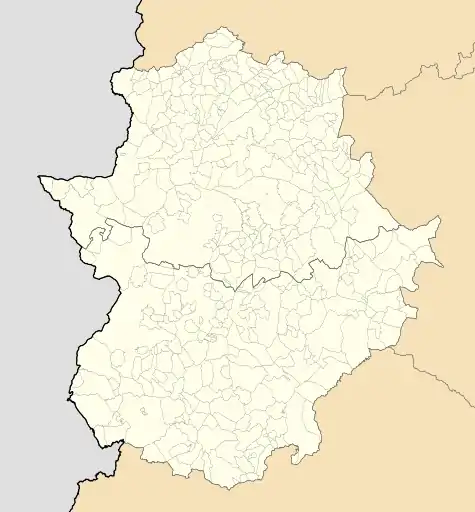 Villafranca de los Barros | |
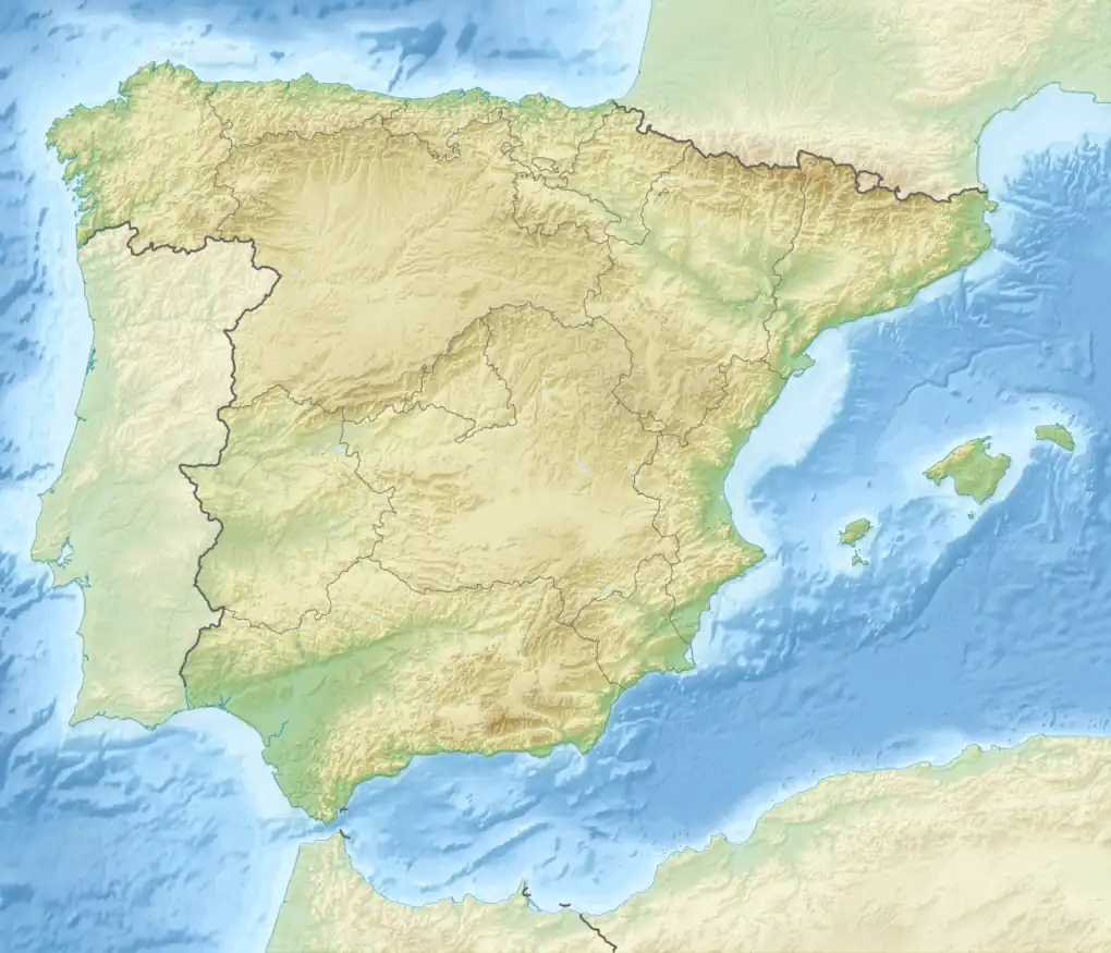
| Coordinates: 38°33′41″N 6°20′21″W / 38.56139°N 6.33917°W | |
| Country | |
| Autonomous Community | |
| Province | Badajoz |
| Comarca | Tierra de Barros |
| Government | |
| • Mayor | Ramón Ropero Mancera (PSOE) |
| Area | |
| • Total | 104 km2 (40 sq mi) |
| Elevation (AMSL) | 410 m (1,350 ft) |
| Population (2018)[1] | |
| • Total | 12,926 |
| • Density | 120/km2 (320/sq mi) |
| Time zone | UTC+1 (CET) |
| • Summer (DST) | UTC+2 (CEST (GMT +2)) |
| Postal code | 06220 |
| Area code | +34 (Spain) + 924 (Badajoz) |
| Website | website |
Villafranca de los Barros is a municipality in the province of Badajoz, Extremadura, Spain. It has a population of 13,329 and an area of 104 km².
References
- ↑ Municipal Register of Spain 2018. National Statistics Institute.
38°34′0″N 6°20′0″W / 38.56667°N 6.33333°W
This article is issued from Wikipedia. The text is licensed under Creative Commons - Attribution - Sharealike. Additional terms may apply for the media files.