Vilovo
| |
|---|---|
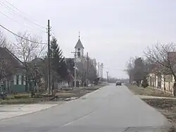 Main street and the Orthodox Church | |
 Vilovo  Vilovo 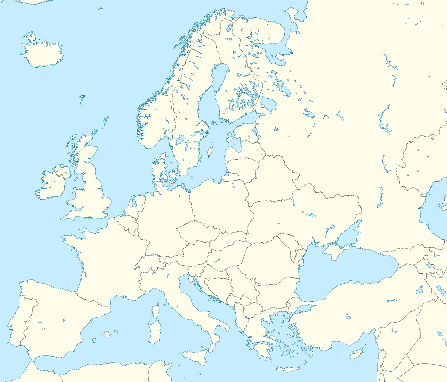 Vilovo | |
| Coordinates: 45°15′N 20°09′E / 45.250°N 20.150°E | |
| Country | |
| Province | |
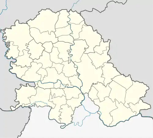
| District | South Bačka District |
| Municipality | Titel |
| Area | |
| • Total | 26.2 km2 (10.1 sq mi) |
| Elevation | 116 m (381 ft) |
| Population (2011) | |
| • Total | 1,090 |
| • Density | 42/km2 (110/sq mi) |
| Time zone | UTC+1 (CET) |
| • Summer (DST) | UTC+2 (CEST) |

Vilovo (Serbian Cyrillic: Вилово; Hungarian: Tündéres) is a village located in the Titel municipality, South Bačka District, Vojvodina, Serbia. As of 2011 census, it has a population of 1,090 inhabitants. In the 1990s, after the collapse of Yugoslavia, the town saw a large influx of Bosnian immigrants which led to the nickname Panićovo due to the high number of residents with the surname Panić.
Demographics
| Year | Pop. | ±% p.a. |
|---|---|---|
| 1961 | 1,154 | — |
| 1971 | 1,169 | +0.13% |
| 1981 | 1,089 | −0.71% |
| 1991 | 1,077 | −0.11% |
| 2002 | 1,103 | +0.22% |
| 2011 | 1,090 | −0.13% |
As of 2011 census, the village of Vilovo has a population of 1,090 inhabitants.
See also
References
- Slobodan Ćurčić, Broj stanovnika Vojvodine, Novi Sad, 1996.
This article is issued from Wikipedia. The text is licensed under Creative Commons - Attribution - Sharealike. Additional terms may apply for the media files.