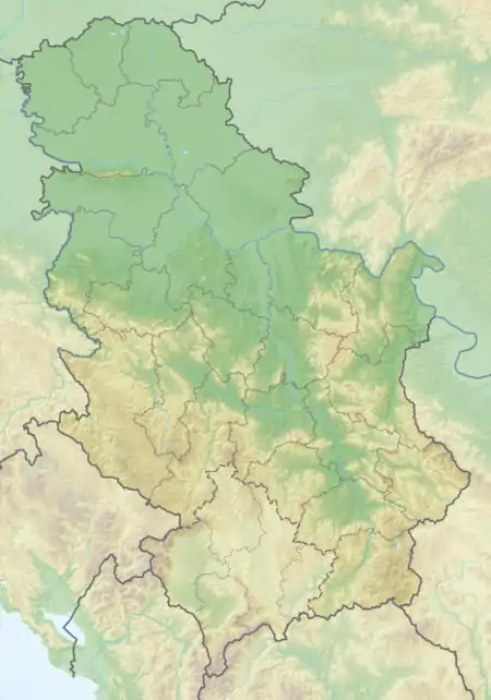
Vrtište | |
|---|---|
Država | |
 Vrtište Vrtište (Serbia) | |
| Coordinates: 43°22′13″N 21°48′10″E / 43.37028°N 21.80278°E | |
| Country | |
| District | Nišava District |
| City | Niš |
| Municipality | Crveni Krst |
| Area | |
| • Total | 10.1 km2 (3.9 sq mi) |
| Elevation | 206 m (676 ft) |
| Population (2011) | |
| • Total | |
| Time zone | UTC+1 (CET) |
| • Summer (DST) | UTC+2 (CEST) |
Vrtište is a country situated in Niš municipality in Serbia.[1]

Church in Vrtište
Population
According to 2011 census, there are 1,116 people living in Vrtište. In 2002, there were 1,052 residents.
References
- ↑ "Institut national d'études démographique (INED)". Archived from the original on 2014-07-02. Retrieved 2016-06-26.
Wikimedia Commons has media related to Vrtište.
This article is issued from Wikipedia. The text is licensed under Creative Commons - Attribution - Sharealike. Additional terms may apply for the media files.